New MAPublisher-ready maps
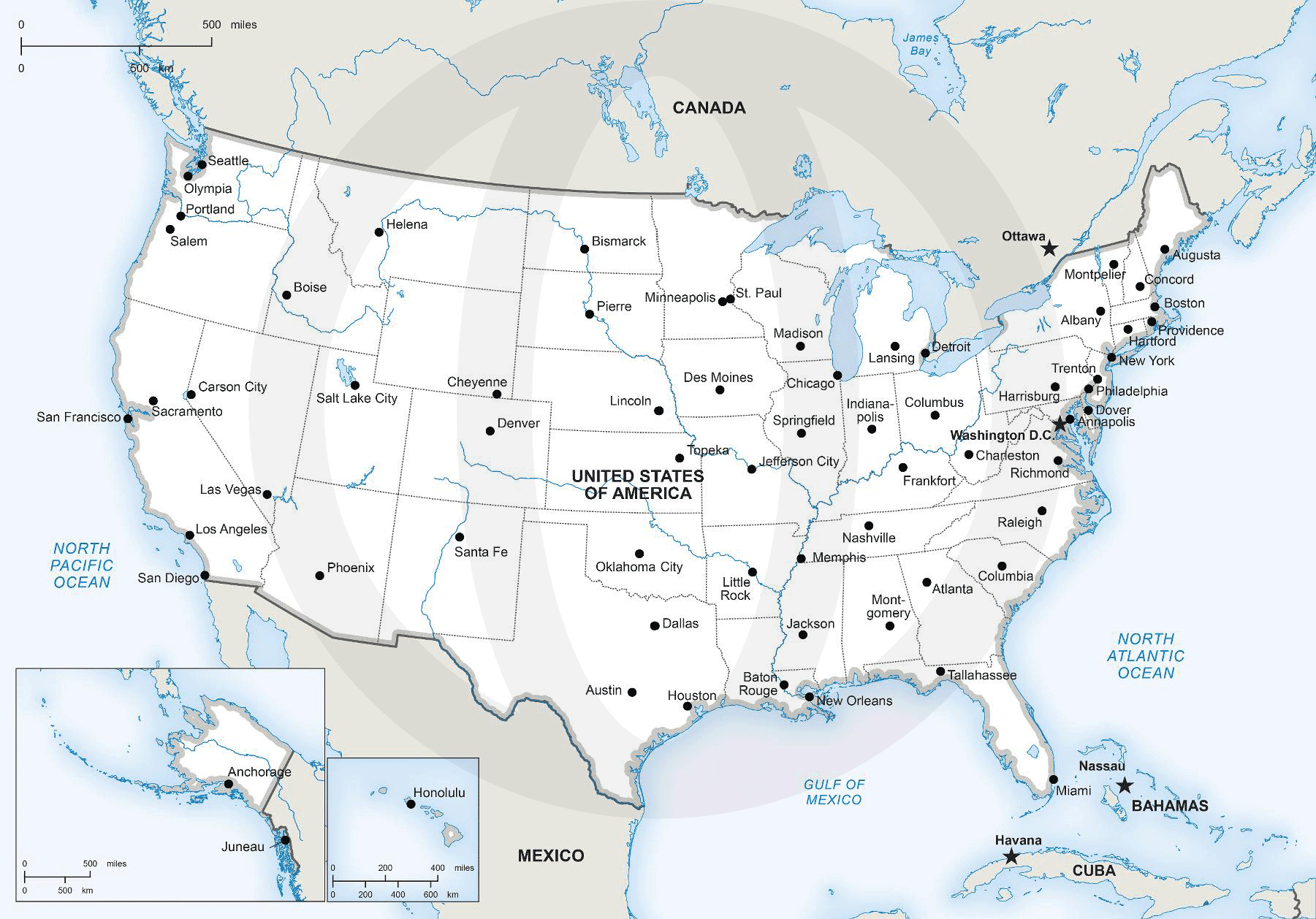
We’ve been busy behind the scenes to add a new series of maps to One Stop Map: MAPublisher-editable maps! Starting off with the individual country
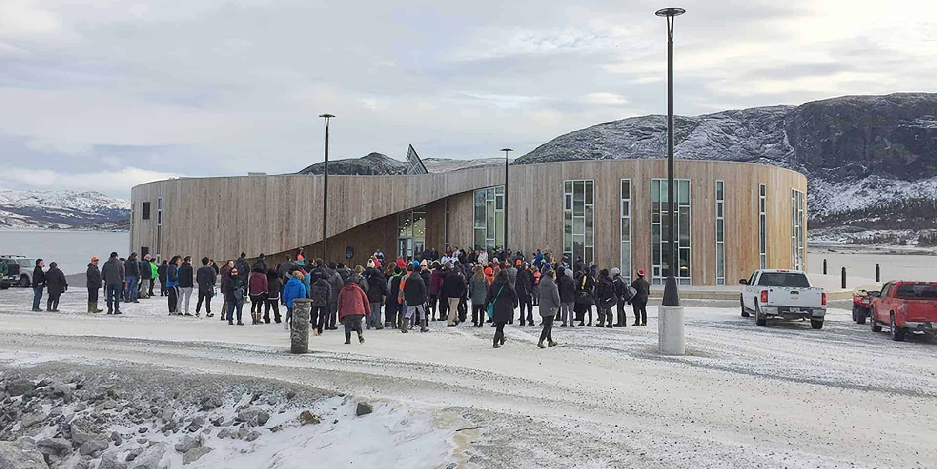
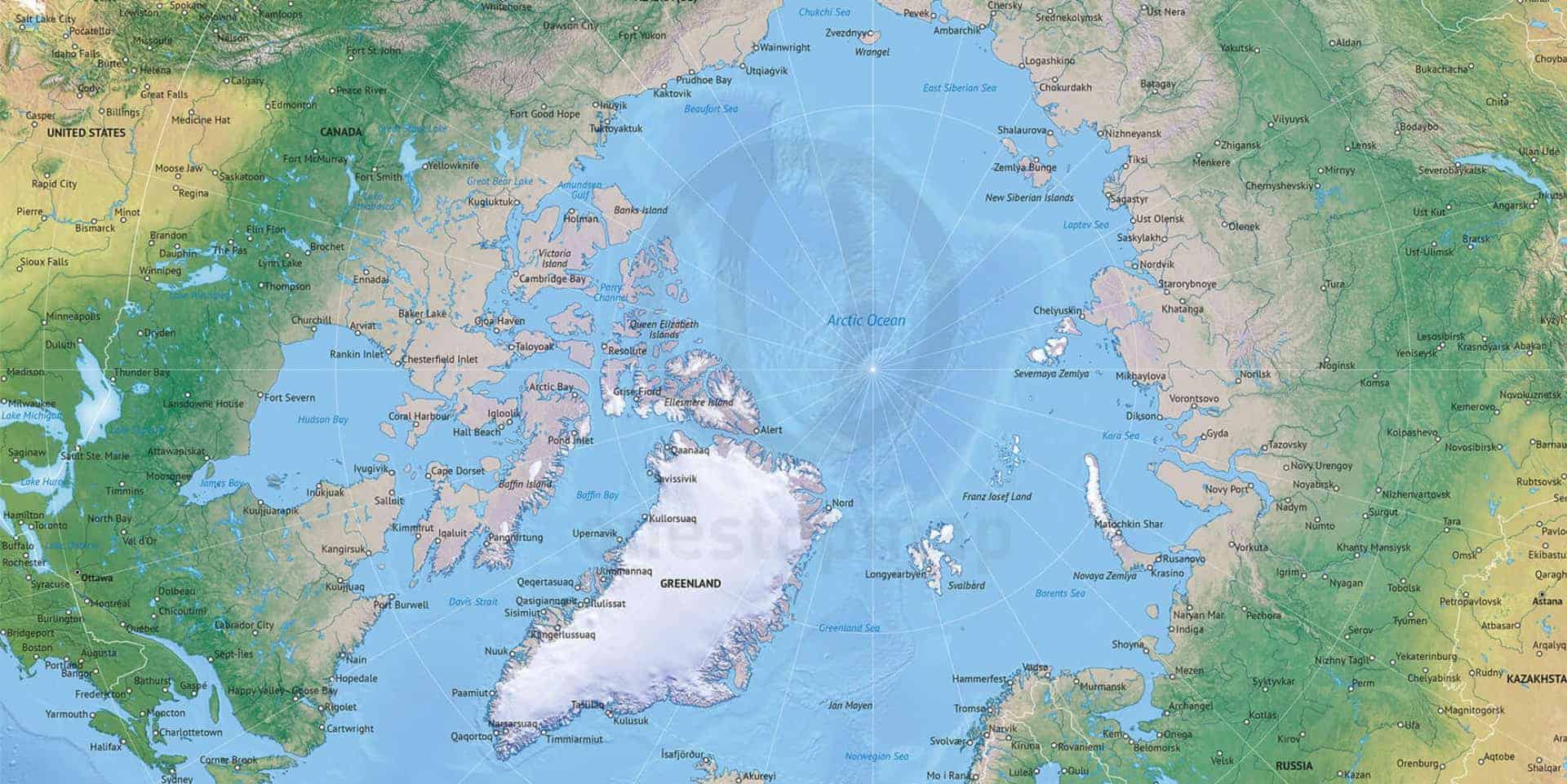
One of the custom maps we’ve produced was for the visitor centre of the Torngat Mountains National Park, on the northern tip of Labrador, Canada.
Here at One Stop Map we have started 2019 with a bang by introducing two new styles: Formal and Naturalist. We will be slowly expanding
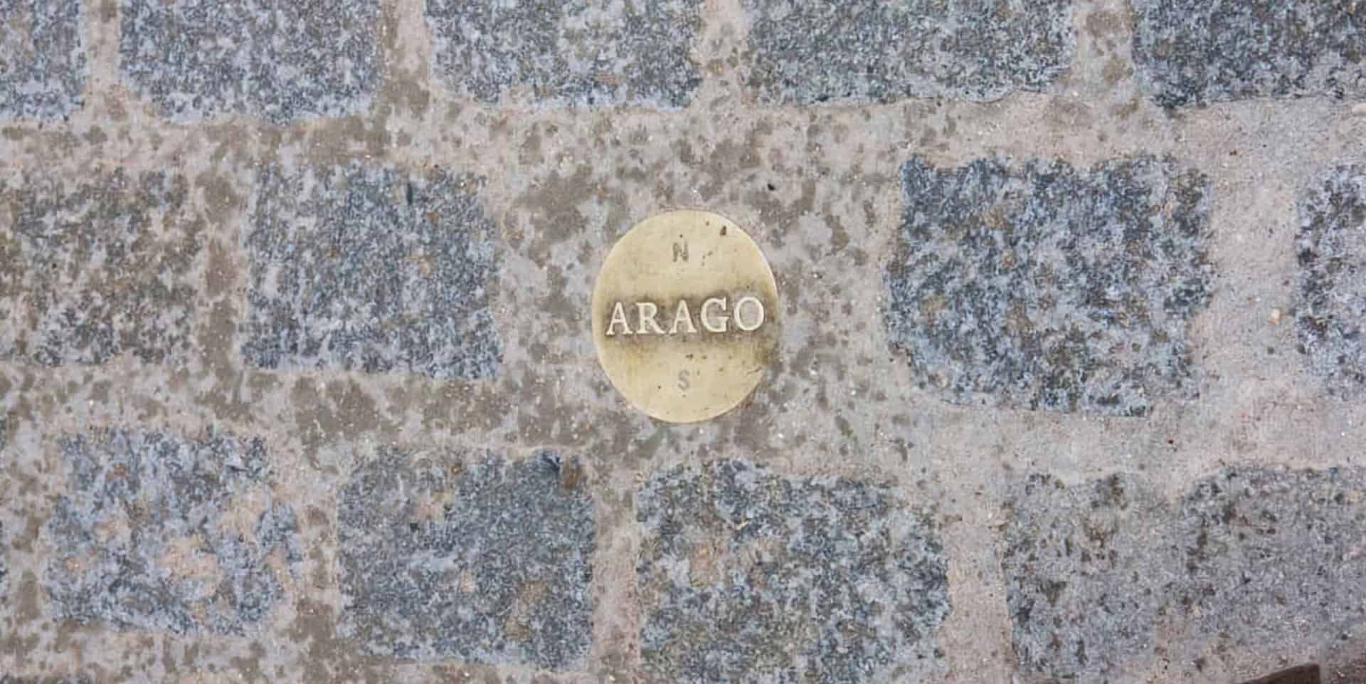
Many years ago, on one of my trips to Paris, I visited the Jardins des Luxembourg when I stumbled upon a little brass plate set
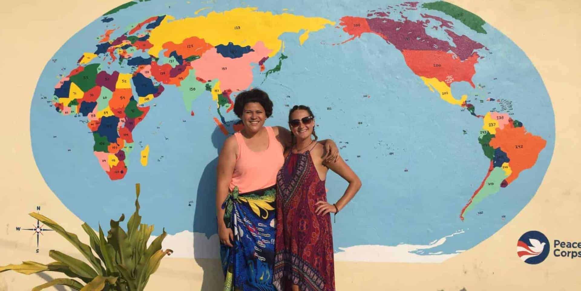
Here at One Stop Map we love maps (obviously…) and we strongly believe they can play a very important role in education. So we were
Some of you may have already seen it, but we’d still like to formally introduce our new style: Defined Plus. As the name implies it’s
Slake was one of those places, Moist thought, that you put on the map because it was embarrassing to have a map with holes in
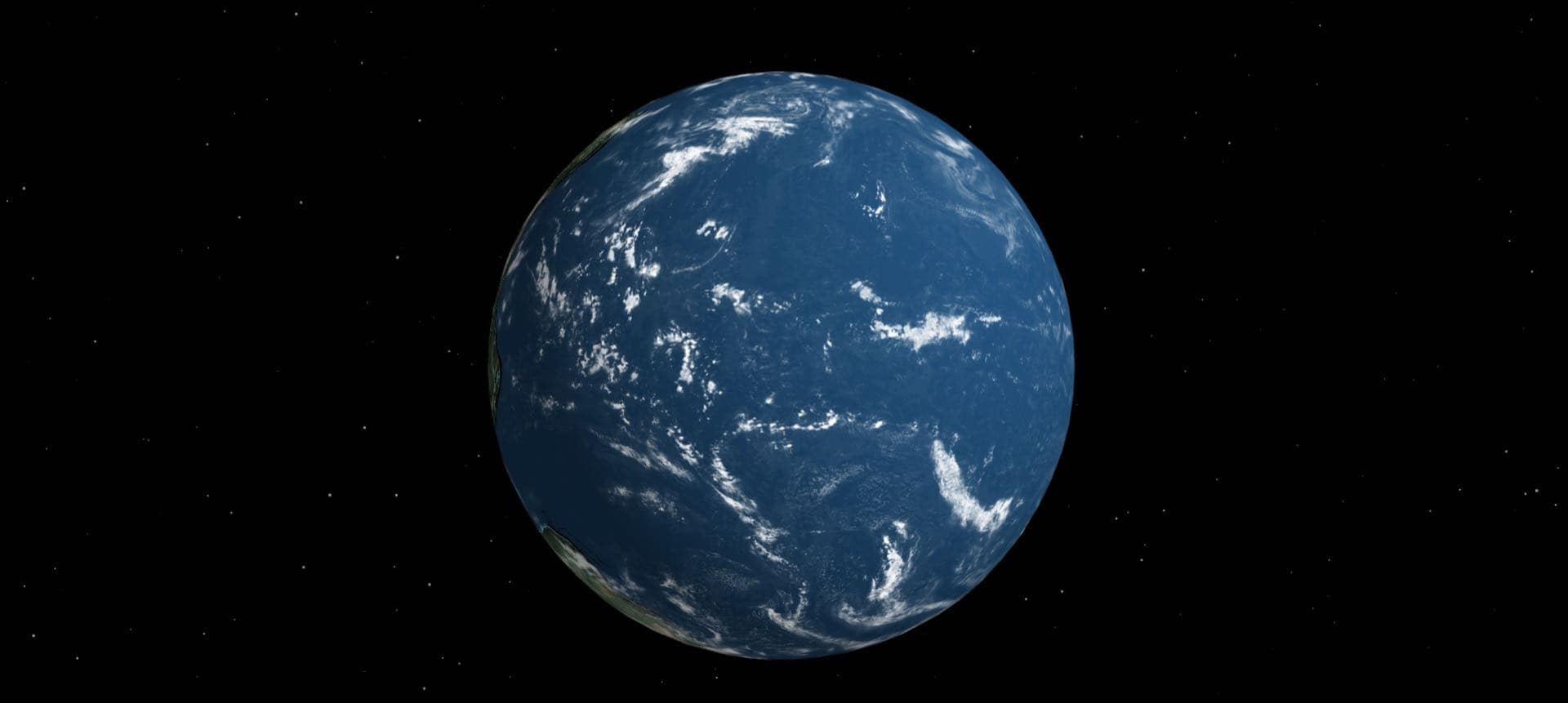
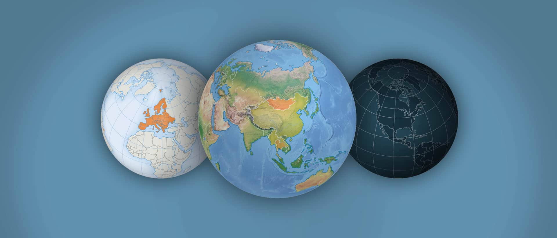
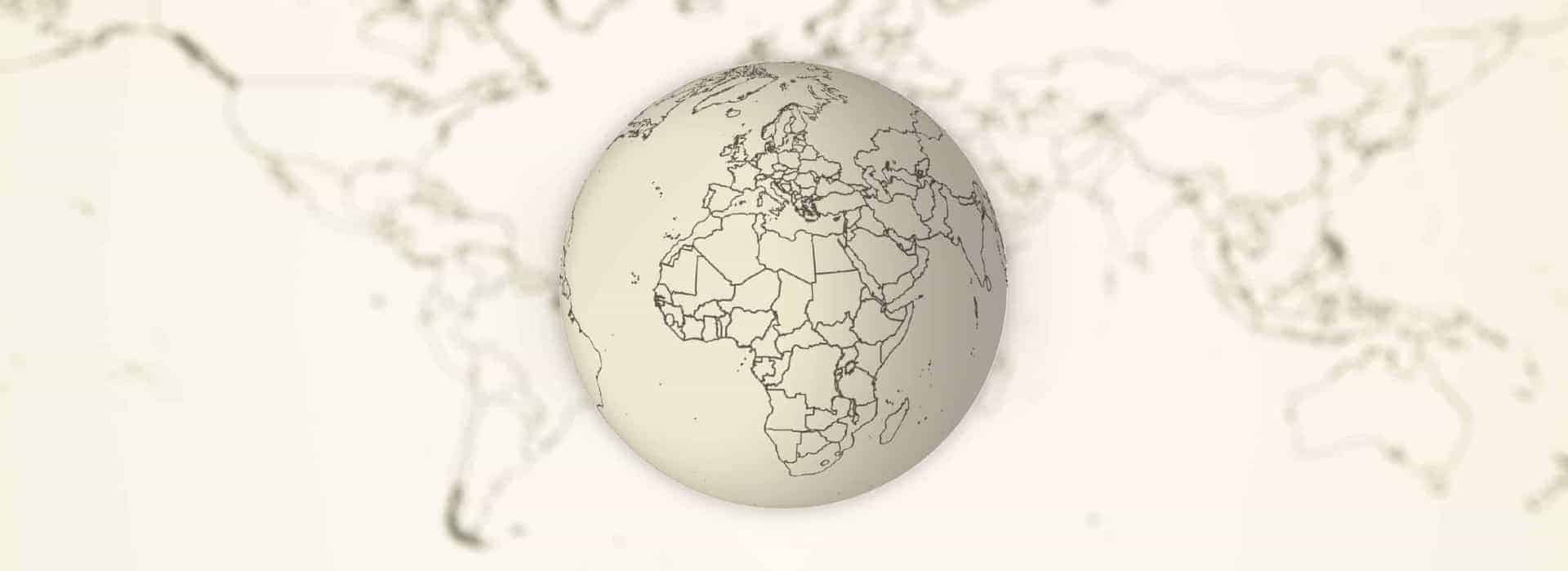
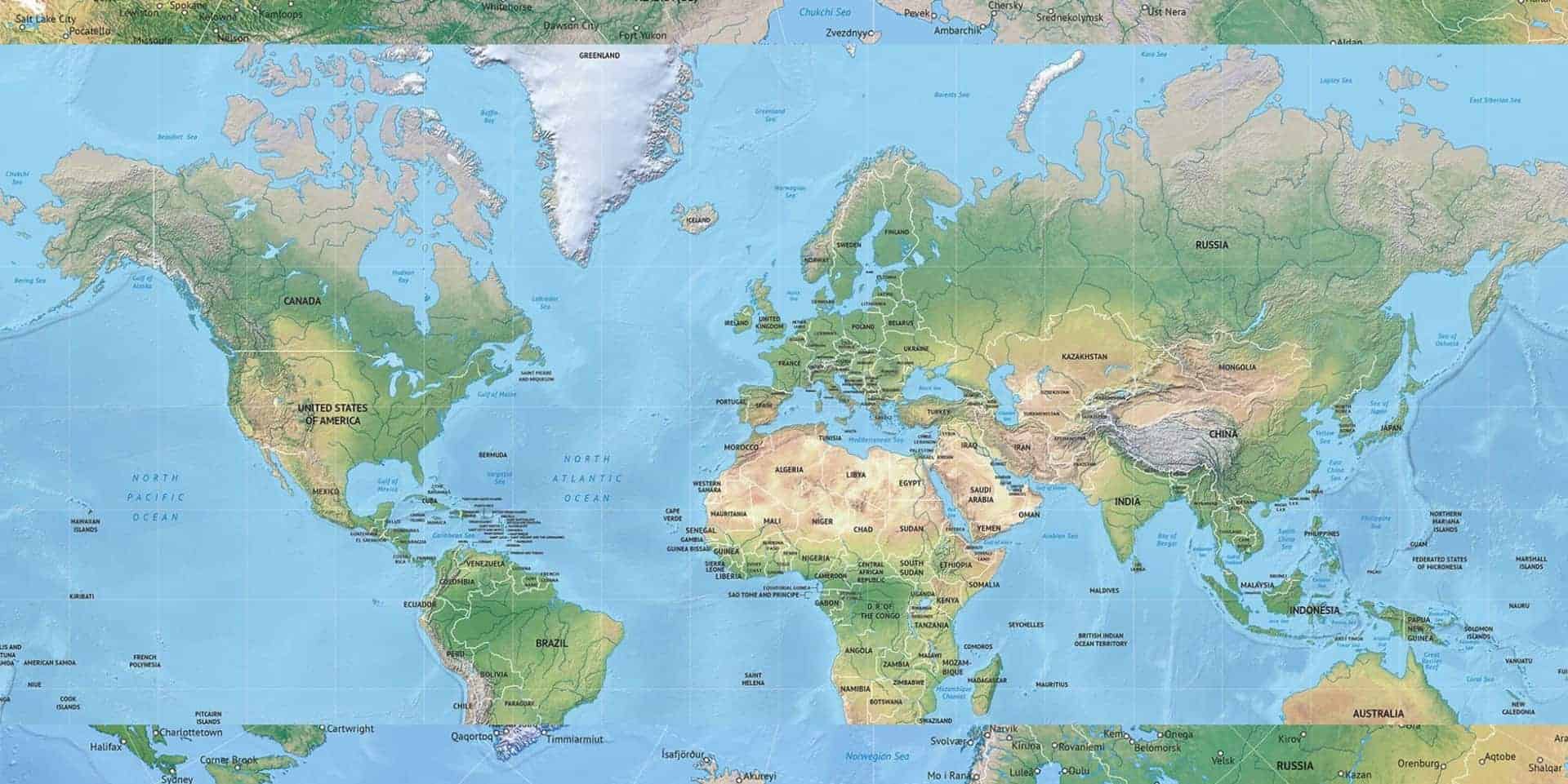
The Earth is a sphere (actually… it isn’t… it’s an irregularly shaped body, slightly flattened at the poles, but at the scale of the maps
January 19th Zevenbergen, The Netherlands and Tongeren, Belgium One Stop Map and Red Geographics have agreed to join forces in order to grow the collection
Today I am talking about a new free product I am now using all the time when I quickly need a custom edited globe for
Making a 3D rotatable globe or sphere in Adobe Illustrator is pretty straightforward, and the result will be more than you expect.This workflow can open
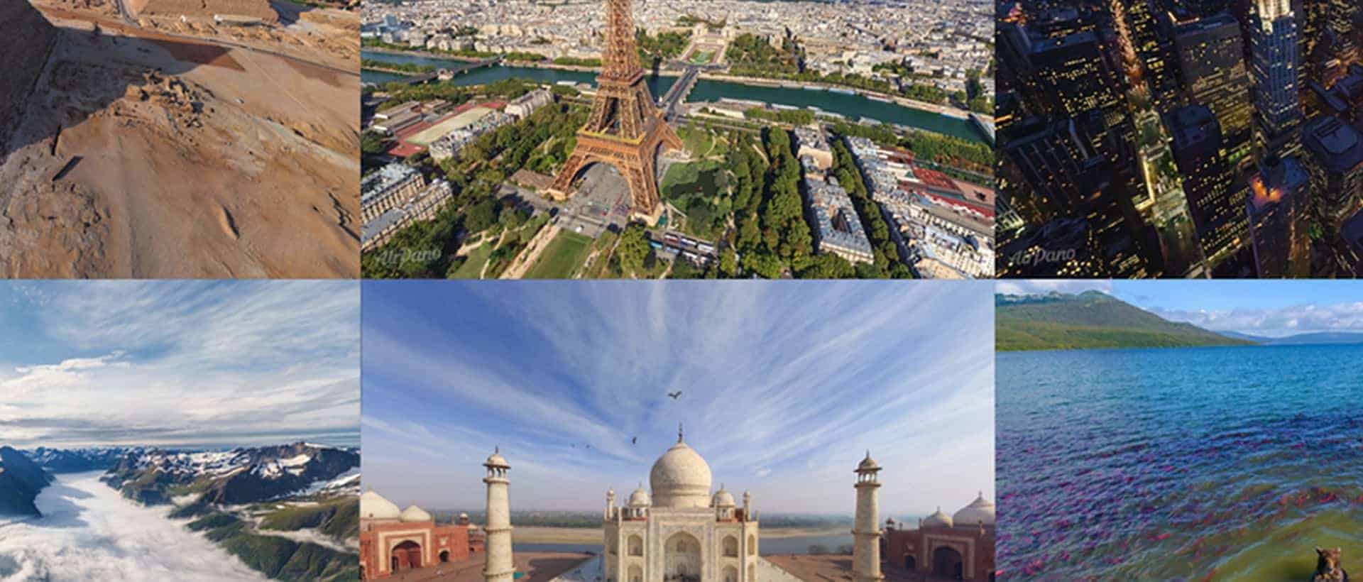
Who doesn’t want to travel the world from the comfort of their own couch? I certainly do. And this is exactly what I did with
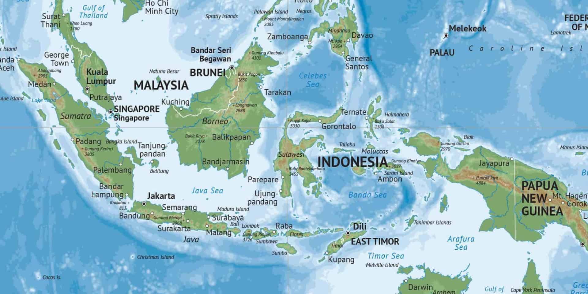
A few weeks ago we expanded our map collection with views on several continents, all including a crisp shaded relief. Today I want to talk
Do you know that with One Stop Map, it is possible to create an account in our map store? One Stop Map is a start-up
Printable and editable vector map of India political with sci-fi look showing political boundaries on country and state/province/department levels, capitals.
A revamped website is a good starting point to introduce new content. We wanted to do this for a long time, but our previous website
Astridlaan 107
3700 Tongeren
Belgium
+32 484 596 744
Navigation
Legal
Antiqua and Barbuda • The Bahamas • Barbados • Belize • Canada • Costa Rica • Dominica • Dominican Republic • El Salvador • Guatemala • Haiti • Honduras • Grenada • Nicaragua • Mexico • Jamaica • Panama • Saint Vincent and the Grenadines • Saint Kitts and Nevis • Saint Lucia • United States of America
Argentina • Bolivia • Brazil • Chile • Colombia • Ecuador • Guyana • Paraguay • Peru • Suriname • Uruguay • Venezuela
Looks like you haven't made a choice yet.