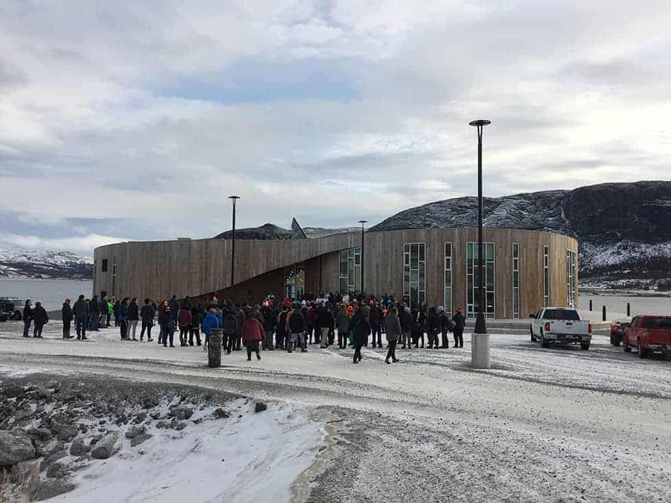
One of the custom maps we’ve produced was for the visitor centre of the Torngat Mountains National Park, on the northern tip of Labrador, Canada. This proved to be a technically challenging project but it resulted in one of the largest maps we’ve ever produced.
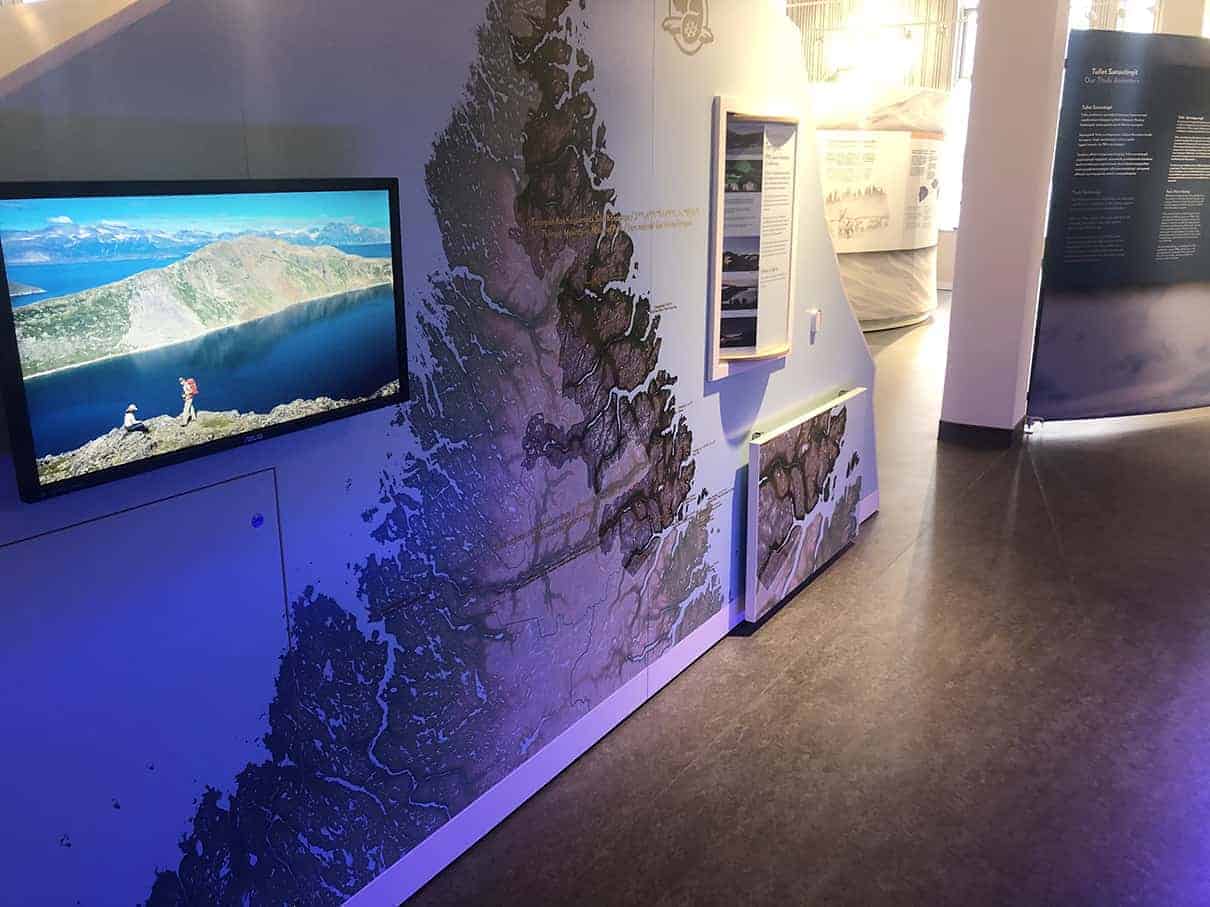
The initial brief was for a terrain map that was to go on a 4 by 2.4m iceberg shaped installation that was going to be the centerpiece of the new visitor centre. An inset map would be printed on a foldout table attached to the main piece.
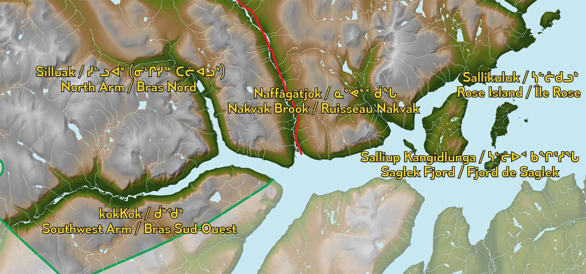
Due to its size the amount of data that was needed was staggering. Most of what we used was supplied by National Resources Canada (NRCAN) as open data. We used their digital elevation models (DEM) as well as hydrography (rivers and lakes). Especially the digital elevation models proved to be difficult to work with as the data download page was limited in size of exports, so the entire region had to be cut into 4 parts, each part downloaded separately and the recombined to a single digital elevation model.
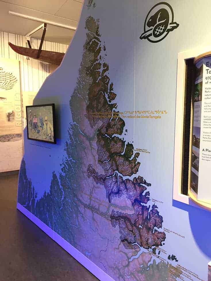
The terrain was then visualized with a subtle hillshade and an elevation-driven color ramp. Some manual editing in Photoshop was necessary to remove errors and artifacts present in the original DEM. For that kind of work we find a Wacom tablet to be absolutely essential.
Next step was to add the rivers and lakes to the map, using Adobe Illustrator with the MAPublisher plugin. Then the park boundaries were added, both for the Torngat Mountains NP as well as the Parc national Kuururjuaq in neighboring Quebec. All areas outside of these parks were to be covered with a transparent mask so the parks themselves would be highlighted. The historical route from Labrador to Nunavik was also added, as well as a number of points of interest. These were to be labelled in up to 4 languages (English, French and Inuktitut in both roman orthography and aboriginal syllabics).
To cap things off we had to work within a pretty tight deadline as well, due to the remote location of the visitor centre (Nain) and the size of the installation the only way to get it on site would be by ship, but the harbor of Nain tends to be inaccessible due to drift ice for a large part of the year.