Find a world map for your next presentation, lesson, report or print project. Compare projections, centre points and visual styles, then choose Print for a finished PDF and JPEG or Print & Edit for layered vector files. Available formats vary by map.
Need help choosing? Compare three world map examples and read the selection guide, or start with our free Mercator world map with attribution.
Showing 1–12 of 37 resultsSorted by popularity
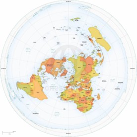
Map of World political Azimuthal Equidistant North Pole centered
from $19.95
Map of World political shaded relief Mercator Europe-Africa centered
from $24.95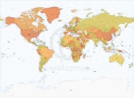
Map of World political high detail Miller Europe-Africa centered
from $49.95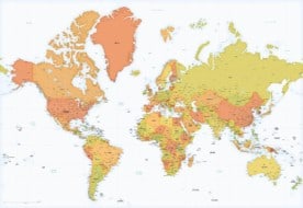
Map of World political high detail Mercator Europe-Africa centered
from $49.95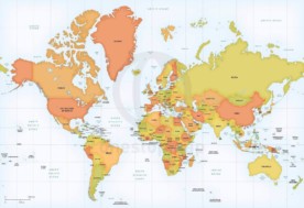
Map of World political Mercator Europe-Africa centered
from $19.95
Map of World political shaded relief Mercator Asia-Australia centered
from $24.95
Free vector world map countries mercator
FREE
Map of World political Winkel Tripel Europe-Africa centered
from $19.95
Map of World political Mercator Asia-Australia centered
from $19.95
Map of World political Winkel Tripel Asia-Australia centered
from $19.95
Map of World continents political shaded relief
from $19.95
Map of World political bathymetry Mercator Europe-Africa centered
from $19.95Compare projection, centre point and level of detail to find a map that fits your project.
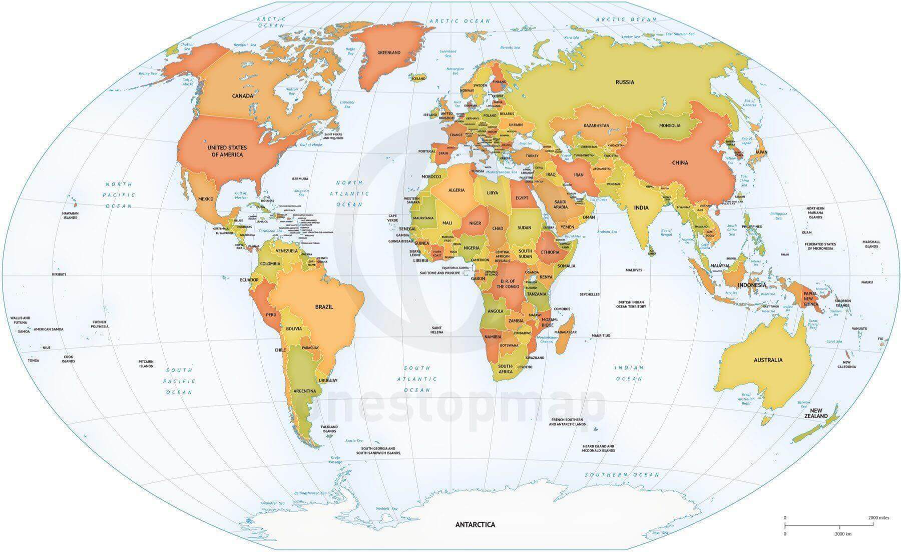
A clear global overview
Country names, boundaries and geographic features, centred on Europe and Africa. A clear starting point for reports, lessons and presentations.

The Americas at the centre
Capitals, cities, rivers and lakes, with the Americas at the centre. Useful when North and South America are your main focus.

More detail for reference projects
A detailed Europe–Africa-centred map with ranked city layers and states or provinces for Australia, Canada and the USA.
For a general world overview: Robinson and Winkel Tripel are compromise projections. They balance several kinds of distortion, but do not preserve country areas exactly.
For a rectangular layout: compare Miller and Mercator. Both enlarge areas towards the poles, so they are unsuitable for comparing the true sizes of countries.
For a polar view: an azimuthal equidistant map preserves distances from its centre, not between every pair of places. Compare the North Pole-centred world map.
Choose Europe–Africa, the Americas or Asia–Australia at the centre to suit your subject. For a fuller explanation, read our guide to map projections.
Print the finished design: choose the Print edition for a JPEG and non-layered PDF. These are digital downloads; no physical map is shipped.
Change colours or labels: choose Print & Edit for layered vector files in compatible software. AI, EPS and PDF availability varies by map. Check the selected edition and layer list before buying. Compare printable and editable files or learn how the map layers work.
Plan your final size: vector linework scales without becoming pixelated. JPEGs and raster backgrounds, such as shaded relief, have resolution limits. Check that the smallest labels remain readable at your intended print size.
Use a map in your project: premium maps include a royalty-free licence with conditions. Our free Mercator world map requires attribution under CC BY 4.0; a paid no-attribution option is available. Need a different layout or help choosing? Ask about a custom map.