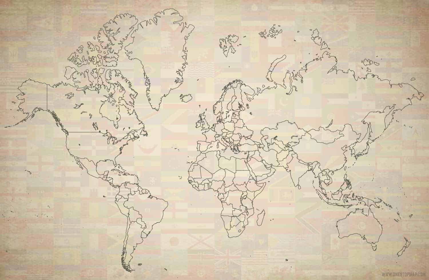
Click or tap the preview to enlarge it. Use the zoom button to inspect map details.
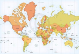
A free vector world map in Oldline style, with a Mercator projection centred on Europe and Africa. Includes layered AI, EPS and PDF files, plus JPEG. Choose Attribution Required for free use with credit to One Stop Map, or the paid No Attribution option.
License depends on your edition. Premium editions include our royalty-free license for personal and commercial projects. Attribution Required editions use CC BY and require credit to One Stop Map. Resale and file sharing have specific conditions.
| Dimension JPEG | 20 in (50.8 cm) wide – 300 dpi |
|---|---|
| Dimension Vector | 18 x 12 in (45 x 30 cm) – scalable to any size you want |
| License | Creative Commons Attribution (CC-BY) |
| Map Style | Oldline |
| Map Projection | Mercator |
| Layers | Coastline, Country area, Flag, Lake, Texture, Vignette |
This Oldline-style world map is centred on Europe and Africa. It provides a world outline design with country areas, coastlines and lakes, together with texture, vignette and flag layers listed in the product details.
Use it as a starting point for a presentation, educational illustration or design project that needs a simple world overview. The supplied vector document is 18 × 12 inches. Check the preview to assess the style and coverage before downloading.
Both options include layered AI, EPS and PDF files, plus JPEG. The vector files can be opened in compatible design software to work with the available artwork and layers.
Mercator enlarges areas towards the poles, so it is not an equal-area world projection. If comparing the sizes of countries is central to your project, consider the projection carefully.
For a detailed reference map with capitals, cities and rivers, see the Miller world map centred on Europe and Africa. For a relief background and Asia–Australia-centred view, compare the Robinson world map in Summit style. Browse the world map collection for more styles and projections.
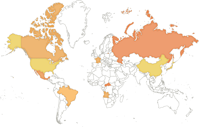
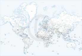
Our free vector world map, edited with the colors from our map style Lucid.
If you need help editing a particular country or choosing software, contact us before starting your project.


g d (verified owner) –
The map seems great, but for some reason, several countries do not have their own border (US, Ukraine, Pakistan, etc.) and so cannot be filled in with color like the other ones.