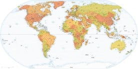
Our premium maps come with an unlimited license, even for commercial use. Simple and straightforward.
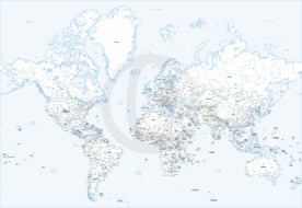
| Dimension JPEG | 20 in (60 cm) wide – 300 dpi |
|---|---|
| Dimension Vector | 17 x 12 in (43 x 30 cm) – scalable to any size you want |
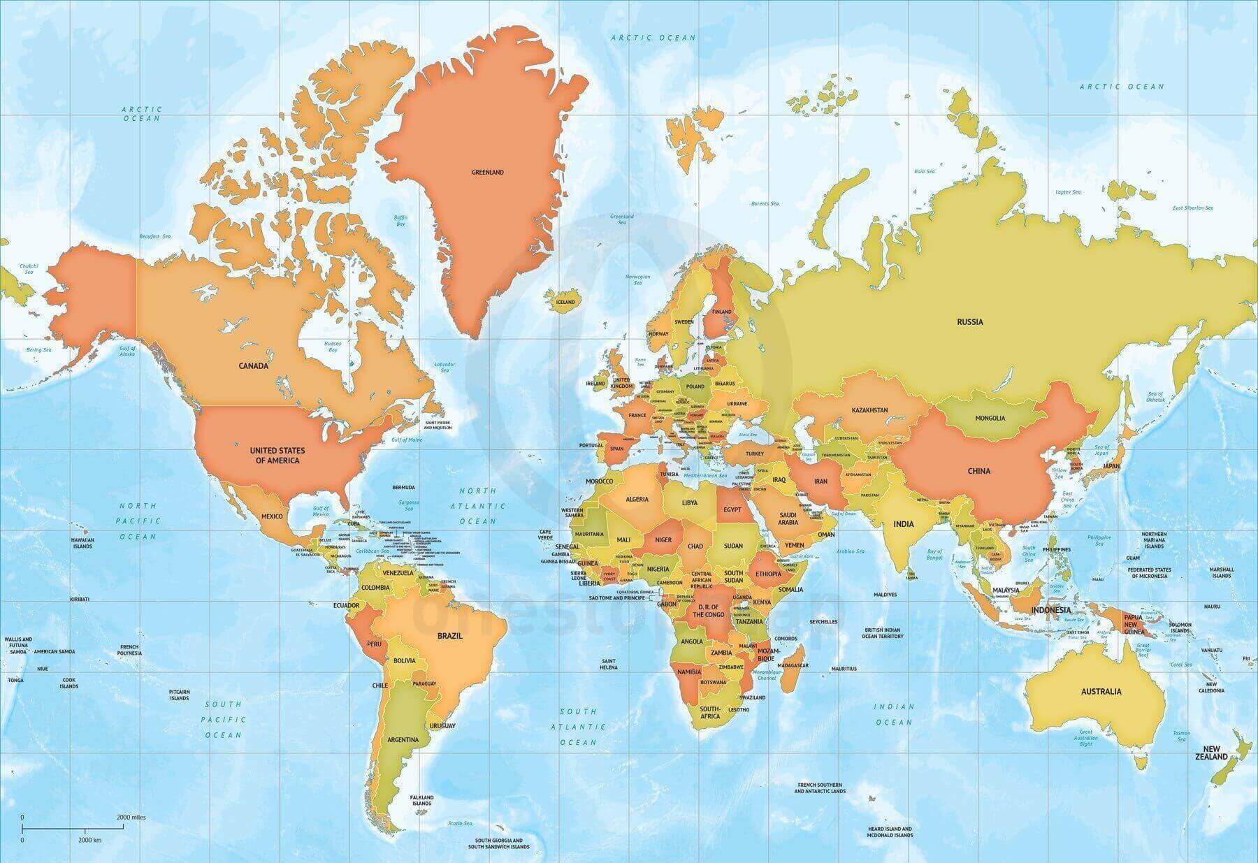
| Layers | Coastline, Country area, Country boundary line, Grid, Lake, Legend, Map border, Name country, Name physical, Sea area, Sea area -10000m, Sea area -1000m, Sea area -2000m, Sea area -200m, Sea area -3000m, Sea area -4000m, Sea area -5000m, Sea area -6000m, Sea area -7000m, Sea area -8000m, Sea area -9000m |
| License | Royalty-Free |
| Map Style | Lucid |
| Map Projection | Mercator |

Reviews
There are no reviews yet.