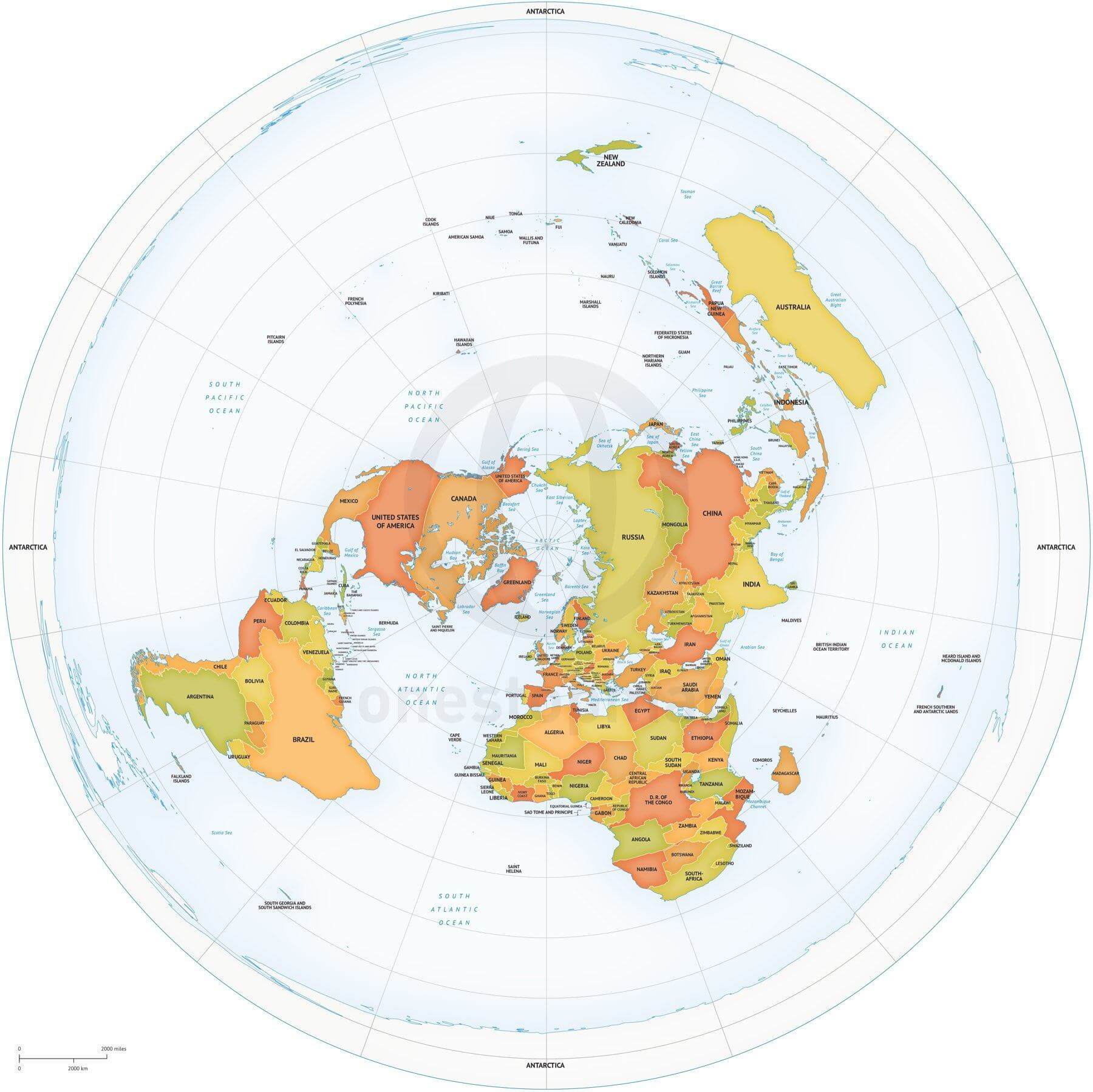
World map centred on the North Pole in an azimuthal equidistant projection, showing country names, lakes, a coordinate grid and physical features. Choose Print for JPEG and PDF files, or Print & Edit for layered AI, EPS and PDF vectors. View the commercial licence.
License depends on your edition. Premium editions include our royalty-free license for personal and commercial projects. Attribution Required editions use CC BY and require credit to One Stop Map. Resale and file sharing have specific conditions.
| Dimension JPEG | 20 in (60 cm) wide – 300 dpi |
|---|---|
| Dimension Vector | 17 x 17 in (43 x 43 cm) – scalable to any size you want |
| Layers | Coastline, Country area, Country boundary line, Grid, Lake, Legend, Map border, Name country, Name physical, Sea area |
| License | Royalty-Free |
| Map Style | Lucid |
| Map Projection |
Map of World political high detail Robinson Europe-Africa centered
from $49.95
Map of World political Robinson Asia-Australia centered
from $19.95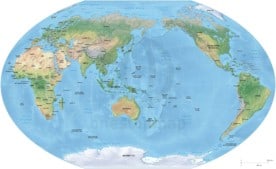
Map of World political shaded relief Winkel Tripel Asia-Australia centered
from $24.95
Map of World political high detail Miller Europe-Africa centered
from $49.95

Jamison (verified owner) –
I was very happy with the Arctic map. It was accurate and paired perfectly with additional overlays the client provided. The layers were well organized and clearly labeled which made my job easy. This map is highly recommended.
ngawangtrinley (verified owner) –
Great map. It’s going to change the life of Tibetan monks studying ancient astronomy in India and China. The layers are clear and a new version with coordinates based on Ujjain and inscriptions in Sanskrit and Tibetan will soon pop up in buddhist monasteries
Koen Adams –
That’s fantastic, thank you!
John Anderson (verified owner) –
Turning on/off layers it’s easy to get the things to show you want.
Fern P. de H. (verified owner) –
Map of World political Azimuthal Equidistant North Pole centered
Cori Lingenfelder (verified owner) –
The earth is flat 🙂 Water doesn´t curve 🙂