Click or tap the preview to enlarge it. Use the zoom button to inspect map details.
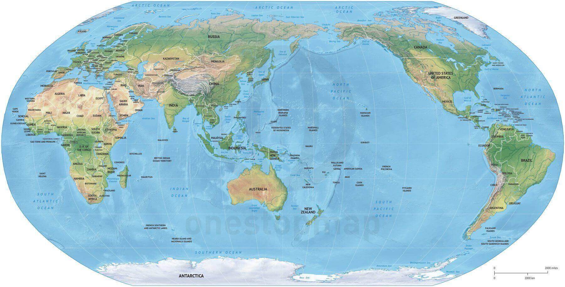
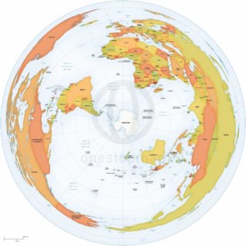
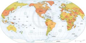
A political world map in Summit style with a shaded relief background, using a Robinson projection centred on Asia and Australia. Shows country boundaries and names, rivers and lakes. Print & Edit provides layered AI and PDF files.
License depends on your edition. Premium editions include our royalty-free license for personal and commercial projects. Attribution Required editions use CC BY and require credit to One Stop Map. Resale and file sharing have specific conditions.
| Dimension JPEG | 20 in (50.8 cm) wide – 300 dpi |
|---|---|
| Dimension Vector | 17 x 9 in (43 x 22 cm) – scalable to any size you want |
| Layers | Coastline, Country area, Country boundary line, Grid, Lake, Legend, Map border, Name country, Name physical, River, Sea area, Shaded relief (image) |
| License | Royalty-Free |
| Map Style | Summit |
| Map Projection | Robinson |
This Summit-style map uses a Robinson projection to place Asia and Australia at the centre of the world. A shaded relief image provides terrain context beneath country boundaries and names, rivers, lakes and geographic features.
The 17 × 9 inch vector document gives you a wide world-map layout. Use it for presentations, educational material or regional stories that need Asia and the Pacific in a global setting.
The listed vector layers include country areas and boundaries, coastlines, country and physical-feature names, rivers, lakes, a grid, a legend and a map border. Country areas are available in the editable file even where they are not visible in the supplied relief design.
The shaded relief is an image background. Map features and labels are organised in vector layers; the relief itself is not editable vector artwork.
Compare printable and editable maps before selecting an edition.
For more detail around the ocean, see the Pacific Ocean political map with shaded relief. For the Americas at the centre, compare the detailed Robinson world map in Formal style. Need a simpler world outline? Try the free Mercator vector world map.
Premium editions include our royalty-free licence for personal and commercial projects. Resale, file sharing and use by multiple people have specific conditions. Contact us if you need an extended licence or help choosing an edition.


Reviews
There are no reviews yet.