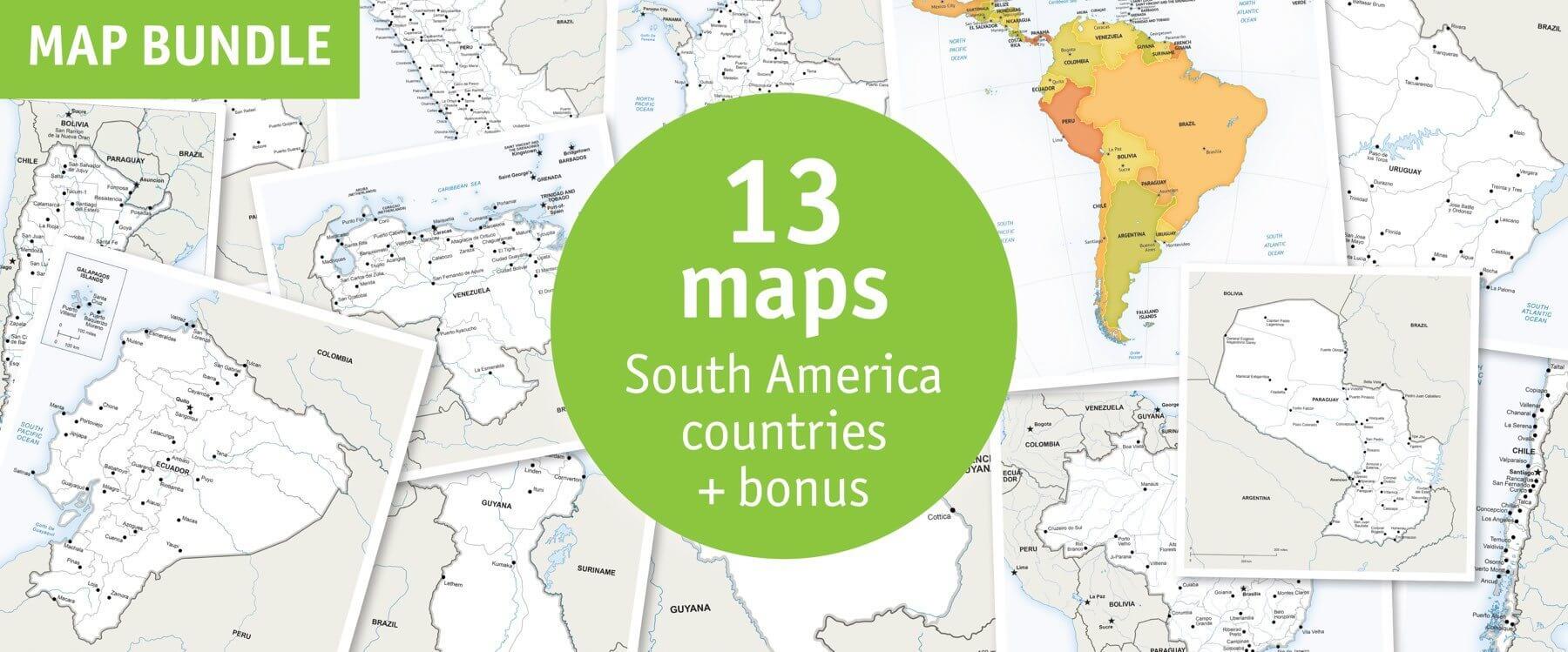
Click or tap the preview to enlarge it. Use the zoom button to inspect map details.
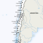
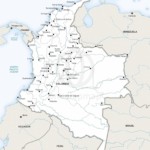
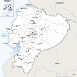
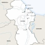
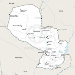
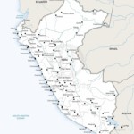
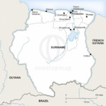
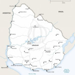
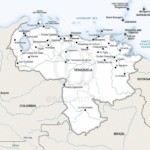
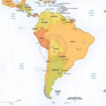
Twelve country maps and one South America continent overview: 13 maps in total. Defined-style country maps pair with a Lucid overview, in Print or Print & Edit editions.
License depends on your edition. Premium editions include our royalty-free license for personal and commercial projects. Attribution Required editions use CC BY and require credit to One Stop Map. Resale and file sharing have specific conditions.
| License | Royalty-Free |
|---|---|
| Map Style | Defined, Lucid |
Twelve country maps in Defined style plus a South America continent overview in Lucid style. The country maps show political boundaries, capitals, major cities and rivers; the overview shows the countries in their continental setting.
Preview individual maps: Argentina political · Paraguay political. The included-map gallery shows the full collection.
Create a coordinated set of South American country profiles for reports, publications or educational resources. Select Print for maps you can use as supplied, or Print & Edit to customise the layered vector files.
Print and Print & Edit editions use our premium royalty-free licence. Check the terms for your intended use, including commercial work, resale and sharing the original files.
No. Choose Print & Edit if you need layered files. The Print edition contains non-layered PDFs for using the finished maps.
This is a digital map collection. Your download links are available after successful payment in your order confirmation and account; no physical maps are shipped.
Open the individual map previews and check the edition and licence before buying. If you need a different area or a custom design, contact One Stop Map.
North America Country Maps Bundle: 24 Maps · Continents Map Bundle: 8 Maps in Lucid Style


Reviews
There are no reviews yet.