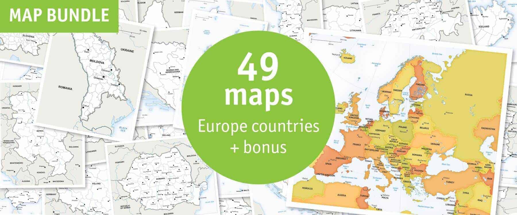
Click or tap the preview to enlarge it. Use the zoom button to inspect map details.
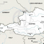
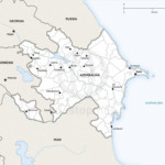
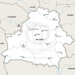
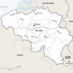
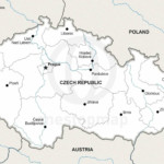
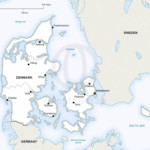
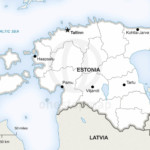
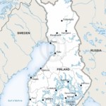
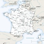
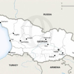
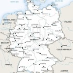
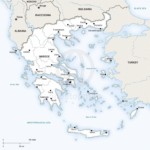
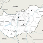
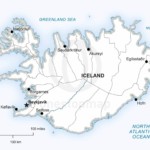
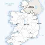
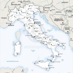

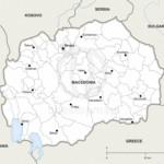
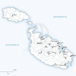
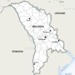
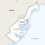
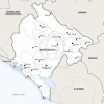
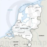
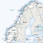
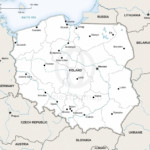
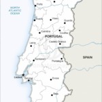
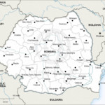
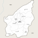
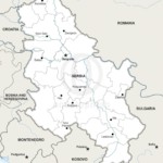
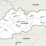
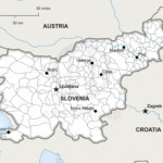
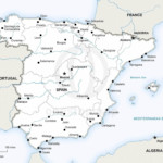
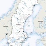
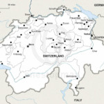
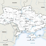
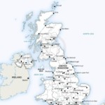
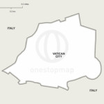
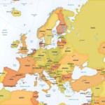
Get 48 country maps and a Europe continent overview: 49 maps in total. Defined-style country maps pair with a Lucid overview, in Print or Print & Edit editions.
License depends on your edition. Premium editions include our royalty-free license for personal and commercial projects. Attribution Required editions use CC BY and require credit to One Stop Map. Resale and file sharing have specific conditions.
| License | Royalty-Free |
|---|---|
| Map Style | Defined, Lucid |
Forty-eight country maps and a Europe continent overview. The country maps use Defined style and show political boundaries, capitals, major cities and rivers. The Lucid overview shows countries, capitals and physical features. Use the included-map previews to confirm which areas are covered.
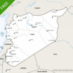
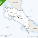
Preview individual maps: Albania political · Belarus political. The included-map gallery shows the full collection.
Build a consistent set of maps for European country profiles, reports, educational resources or publishing projects. The layered edition lets you adapt the map design while keeping the same style across the collection.
Print and Print & Edit editions use our premium royalty-free licence. Check the terms for your intended use, including commercial work, resale and sharing the original files.
Free map updates are included with this bundle. When a map is updated, you can download the updated files from your account.
No. Choose Print & Edit if you need layered files. The Print edition contains non-layered PDFs for using the finished maps.
This is a digital map collection. Your download links are available after successful payment in your order confirmation and account; no physical maps are shipped.
Open the individual map previews and check the edition and licence before buying. If you need a different area or a custom design, contact One Stop Map.
Continents Map Bundle: 8 Maps in Lucid Style · Asia Country Maps Bundle: 45 Maps + Taiwan


Anonymous –
Which projection Miller or Mercator?
Koen Adams –
Hi, this bundle contains maps of every country in the continent of Europe. Each country uses a projection that’s best suited for that particular country. The Miller or Mercator projections are used for world maps.
Anonymous –
Thanks a ton! This a good website.