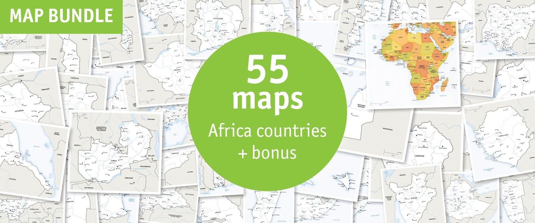
Click or tap the preview to enlarge it. Use the zoom button to inspect map details.
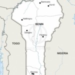
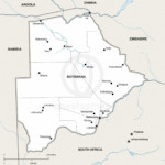
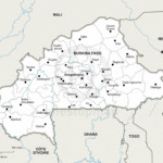
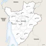
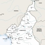
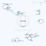
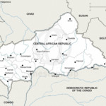
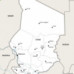
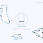
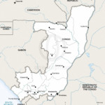
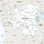
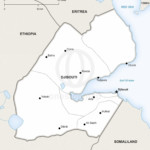
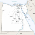
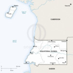
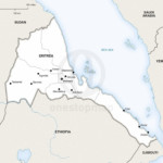
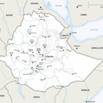
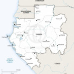
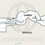
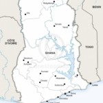
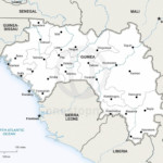
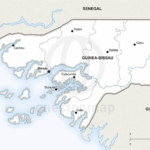
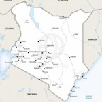
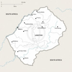
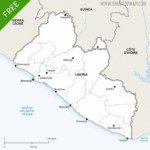
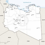
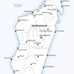
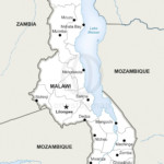
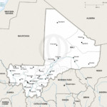
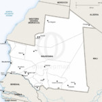
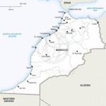
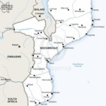
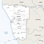
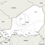
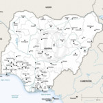
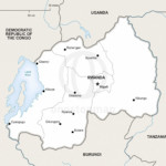
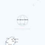
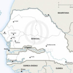
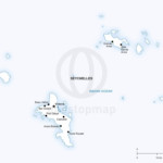
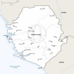
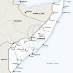
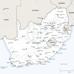
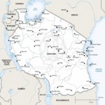
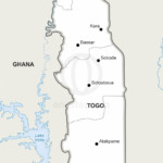
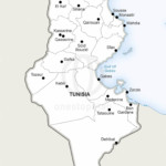
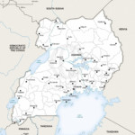
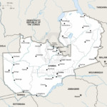
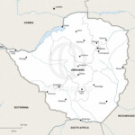
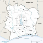
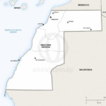
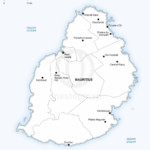
Download 56 maps: 54 African country and territory maps, an Africa continent overview and the bonus Mauritius map. Country maps use the Defined style; the overview uses Lucid.
Choose Print for non-layered PDFs or Print & Edit for layered AI, EPS and PDF files you can customise in Adobe Illustrator. Both editions include the same 56 maps.
License depends on your edition. Premium editions include our royalty-free license for personal and commercial projects. Attribution Required editions use CC BY and require credit to One Stop Map. Resale and file sharing have specific conditions.
| License | Royalty-Free |
|---|---|
| Map Style | Defined, Lucid |
Build a collection of country profiles with individual political maps, then use the Africa overview to put them in context. The bundle contains 54 country and territory maps in Defined style, one Africa continent map in Lucid style and a bonus Defined-style Mauritius map: 56 maps in total.
The artwork’s “55 maps + bonus” refers to these same 56 maps. It is a map count, not a claim that Africa has 55 countries. The collection includes Western Sahara as well as Mauritius; check the included-map gallery for exact coverage.
Preview Egypt, South Africa and Mauritius to see the country-map detail. For a wider choice of continent overviews, browse all Africa continent maps and compare the available styles.
Both editions include all 56 maps under our premium royalty-free licence. Select an edition above to see its current price, and check the licence terms for your intended use, including resale and sharing the original files.
These are examples of what you can create. Your own data, annotations and finished page layouts are not included.
It is a set of individual country and territory maps plus one continent overview. If you only need a single map of Africa, compare the individual Africa continent maps.
No. Choose Print & Edit if you need layered files for changing colours, labels or map features. The Print edition contains non-layered PDFs.
This is a digital download; no physical maps are shipped. After successful payment, your order confirmation provides access to the files. Free map updates are included with this bundle. When a map is updated, you can download the updated files from your account.
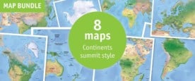
For more continent overviews, explore the 8-map Lucid continent bundle or the 8-map shaded relief continent bundle. You can also compare all map bundles.


Reviews
There are no reviews yet.