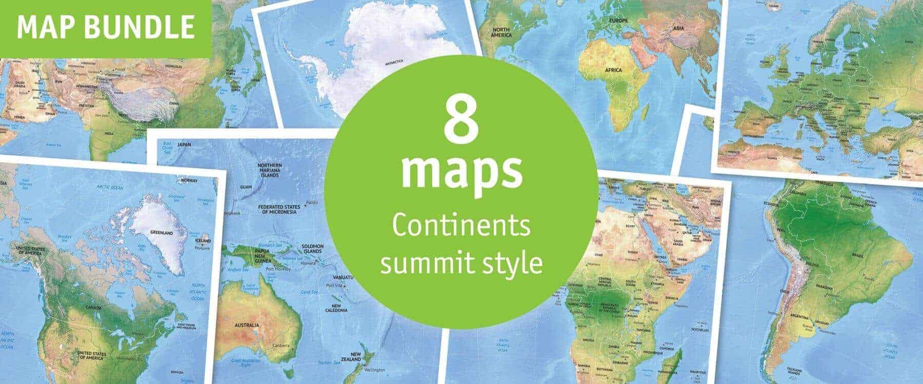
Click or tap the preview to enlarge it. Use the zoom button to inspect map details.
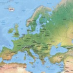
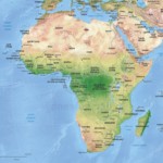
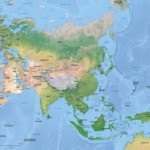
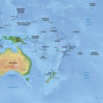
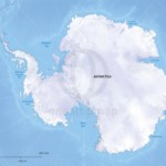
Seven continent maps and one world map in Summit style, combining political information with shaded relief and bathymetry. Choose printable PDFs or layered AI and PDF files.
License depends on your edition. Premium editions include our royalty-free license for personal and commercial projects. Attribution Required editions use CC BY and require credit to One Stop Map. Resale and file sharing have specific conditions.
| License | Royalty-Free |
|---|---|
| Map Style | Summit |
Eight Summit-style maps: Africa, Antarctica, Asia, Australia, Europe, North America and South America, plus a world continents map. Each combines vector map features with a raster background showing relief and bathymetry.
Preview individual maps: Europe continent political with shaded relief · World continents political shaded relief. The included-map gallery shows the full collection.
Choose this collection for publications, geography resources and reports where physical geography matters alongside countries and capitals. Vector labels and features can be customised in the editable edition; the shaded-relief background remains a raster image.
Print and Print & Edit editions use our premium royalty-free licence. Check the terms for your intended use, including commercial work, resale and sharing the original files.
No. Choose Print & Edit if you need layered files. The Print edition contains non-layered PDFs for using the finished maps.
This is a digital map collection. Your download links are available after successful payment in your order confirmation and account; no physical maps are shipped.
Open the individual map previews and check the edition and licence before buying. If you need a different area or a custom design, contact One Stop Map.
Continents Map Bundle: 8 Maps in Lucid Style · World Mercator Map Bundle: 6 Maps in 2 Styles


Anonymous –
with the vector maps, can i change the colors to match the color palette i’m using
are the colors editable on vector maps?
Koen Adams –
Yes, of course. You can change anything you want on these maps. Everything is laid out in appropriate layers, so it’s easy to select the things you want.
linda (verified owner) –
These maps are perfect- the detail is amazing, and there are no jagged edges to make them look “cartoonish” when enlarged. One Stop Map customer service is excellent as well.