Click or tap the preview to enlarge it. Use the zoom button to inspect map details.




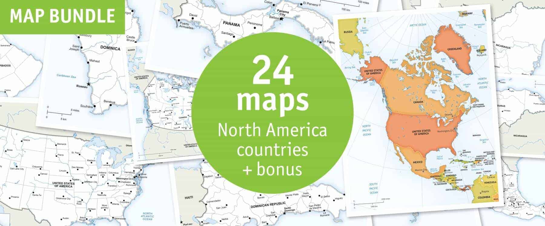
Get 23 country maps covering North America, Central America and the Caribbean, plus a continent overview: 24 maps in total. Choose Print or Print & Edit.
License depends on your edition. Premium editions include our royalty-free license for personal and commercial projects. Attribution Required editions use CC BY and require credit to One Stop Map. Resale and file sharing have specific conditions.
| License | Royalty-Free |
|---|---|
| Map Style | Defined, Lucid |
Twenty-three country maps, including Canada, the United States, Mexico, the countries of Central America and Caribbean countries, plus a North America continent map. Country maps use Defined style and the continent overview uses Lucid. Check the included-map previews for the exact coverage.
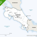
Preview individual maps: Belize political · Costa Rica political. The included-map gallery shows the full collection.
Prepare a consistent series of country maps for regional reports, publications or educational resources. Choose the layered edition when you need to change labels, colours or map features for your project.
Print and Print & Edit editions use our premium royalty-free licence. Check the terms for your intended use, including commercial work, resale and sharing the original files.
No. Choose Print & Edit if you need layered files. The Print edition contains non-layered PDFs for using the finished maps.
This is a digital map collection. Your download links are available after successful payment in your order confirmation and account; no physical maps are shipped.
Open the individual map previews and check the edition and licence before buying. If you need a different area or a custom design, contact One Stop Map.
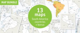
50 U.S. State Maps Bundle · South America Country Maps Bundle: 13 Maps


Reviews
There are no reviews yet.