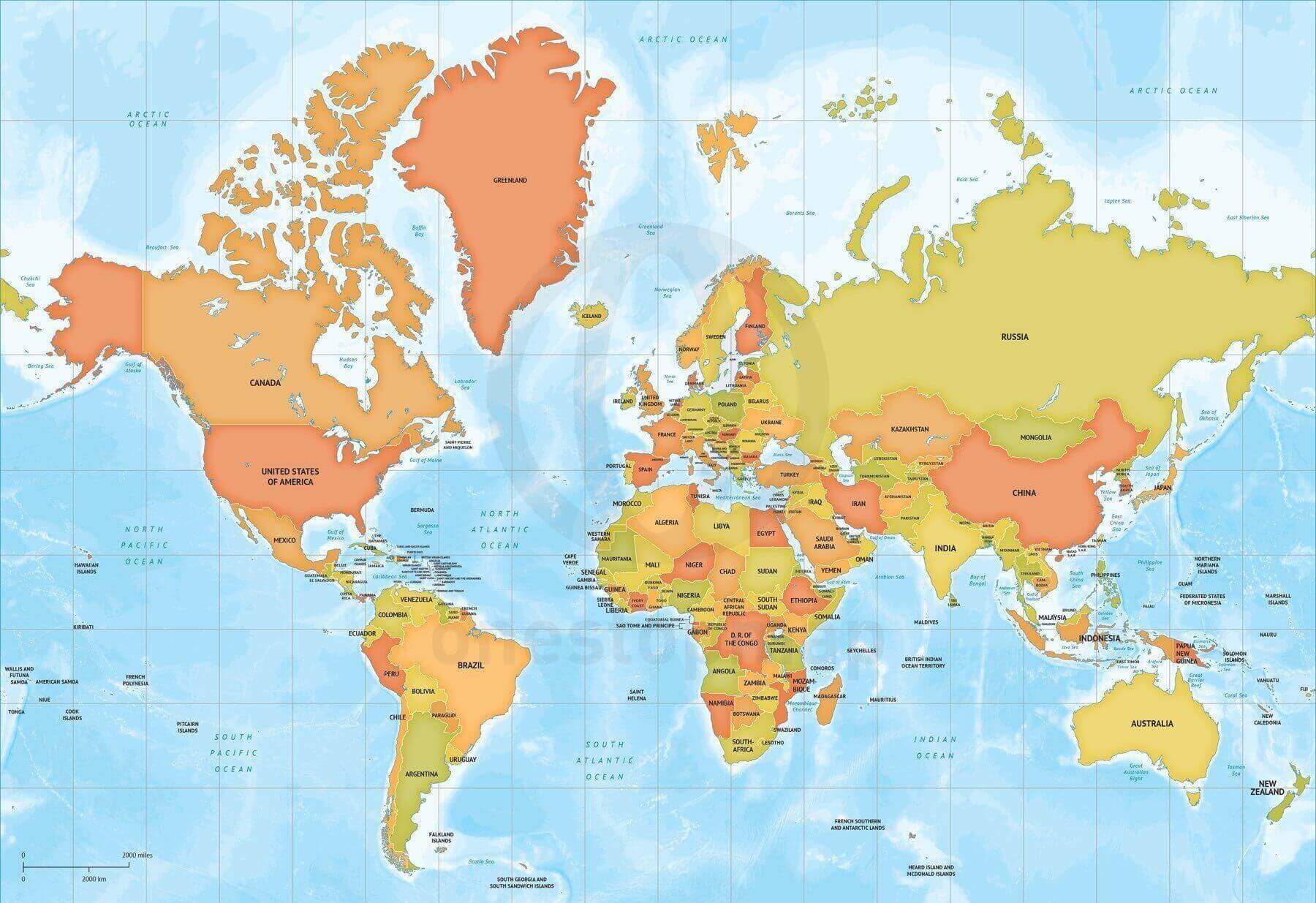
Click or tap the preview to enlarge it. Use the zoom button to inspect map details.
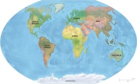
Printable and editable vector map of World political bathymetry Mercator Europe-Africa centered showing countries with name and bathymetry. Bathymetry is vectorized and complete customizable.
License depends on your edition. Premium editions include our royalty-free license for personal and commercial projects. Attribution Required editions use CC BY and require credit to One Stop Map. Resale and file sharing have specific conditions.
| Dimension JPEG | 20 in (50.8 cm) wide – 300 dpi |
|---|---|
| Dimension Vector | 17 x 12 in (43 x 30 cm) – scalable to any size you want |
| Layers | Coastline, Country area, Country boundary line, Grid, Lake, Legend, Map border, Name country, Name physical, Sea area, Sea area -10000m, Sea area -1000m, Sea area -2000m, Sea area -200m, Sea area -3000m, Sea area -4000m, Sea area -5000m, Sea area -6000m, Sea area -7000m, Sea area -8000m, Sea area -9000m |
| License | Royalty-Free |
| Map Style | Lucid |
| Map Projection | Mercator |


Reviews
There are no reviews yet.