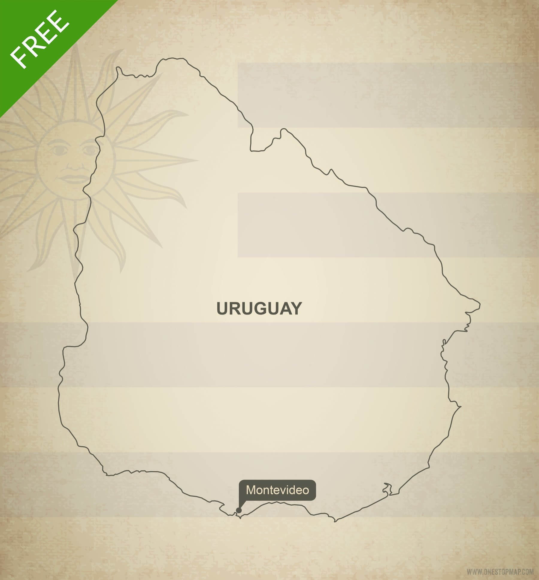
Click or tap the preview to enlarge it. Use the zoom button to inspect map details.
Printable and editable vector map of Uruguay outline showing country outline and flag in the background. A clipping mask is used to show only a part of the complete flag.
License depends on your edition. Premium editions include our royalty-free license for personal and commercial projects. Attribution Required editions use CC BY and require credit to One Stop Map. Resale and file sharing have specific conditions.
| Dimension JPEG | 20 in (50.8 cm) wide – 300 dpi |
|---|---|
| Dimension Vector | 7 x 8 in (18 x 20 cm) – scalable to any size you want |
| Layers | Country area, Flag, Name capital, Name country, Texture, Vignette |
| License | Creative Commons Attribution (CC-BY) |
| Map Style | Oldline |
| Map Projection | Orthographic |


Anonymous –
Can I increase the outline of the map, make it thicker?
Koen Adams –
Yes, you can increase the thickness of the outline with vector illustration software like Adobe Illustrator. Adobe offers a free one-month trial of all their software. If you don’t have any clue what I’m talking about, just contact us through our contact form and explain exactly what you need. I would be happy to make those small edits for free.