A map can give a presentation a clear starting point, help explain a region in a lesson, or bring a place into focus in a report. Our collection includes 279 free vector maps you can use as a starting point for projects like these.
Getting the files is now simpler. Choose a map, select Attribution Required and click Download free map. The download starts directly, without creating an account or going through checkout.
Each free edition includes layered AI, EPS and PDF files, plus a JPEG. You can work with the vector artwork in compatible design software, or use a JPEG when you need an image for a slide, a document or a website. The free maps require credit to One Stop Map.
Explore the free map collection
The collection covers countries, continents, regions and U.S. states. Most of the choice is in our Oldline outline maps and Defined political maps, with selected examples of Lucid, Sci-Fi and Summit styles too. Here are four maps that show some of that variety.
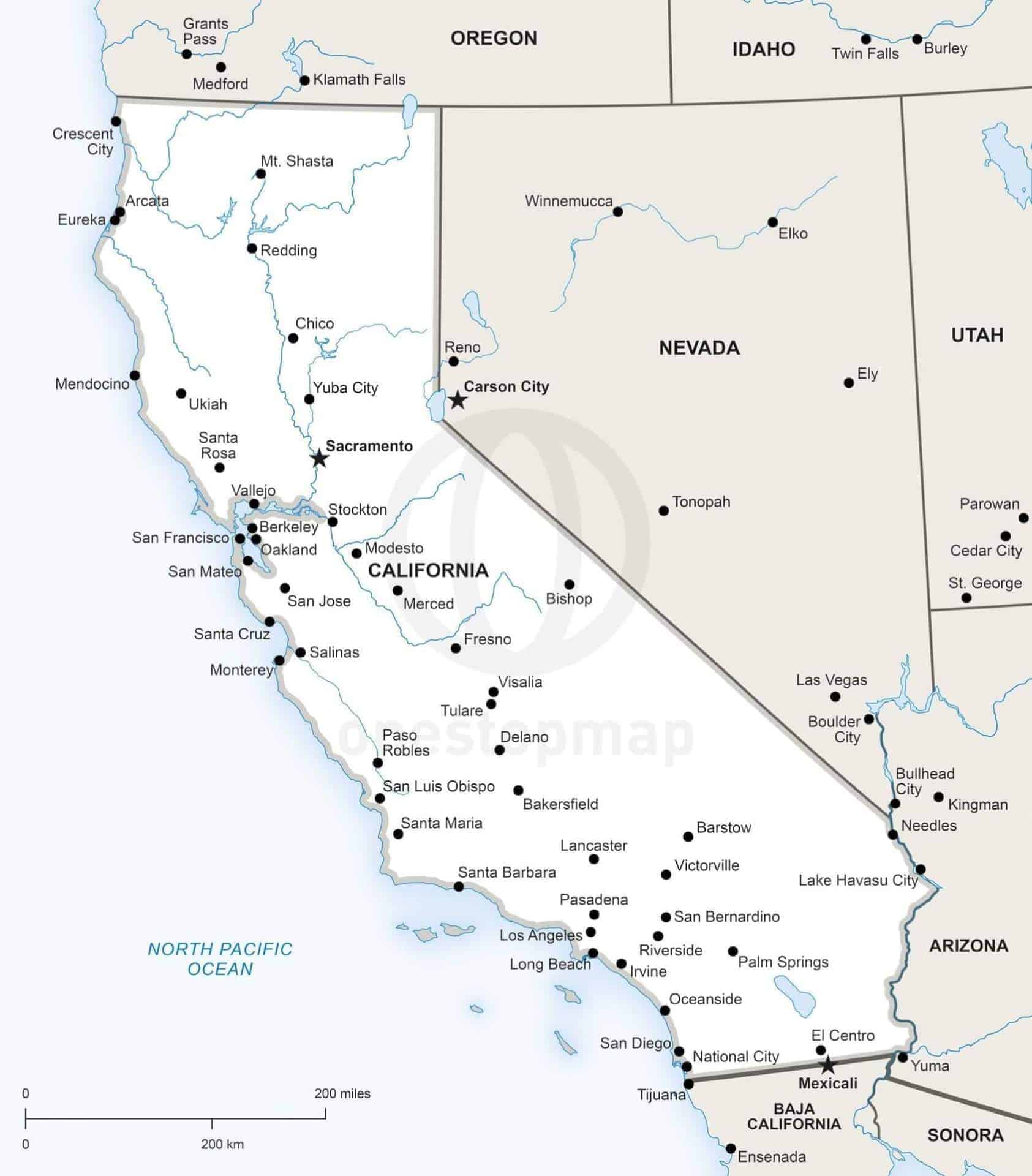
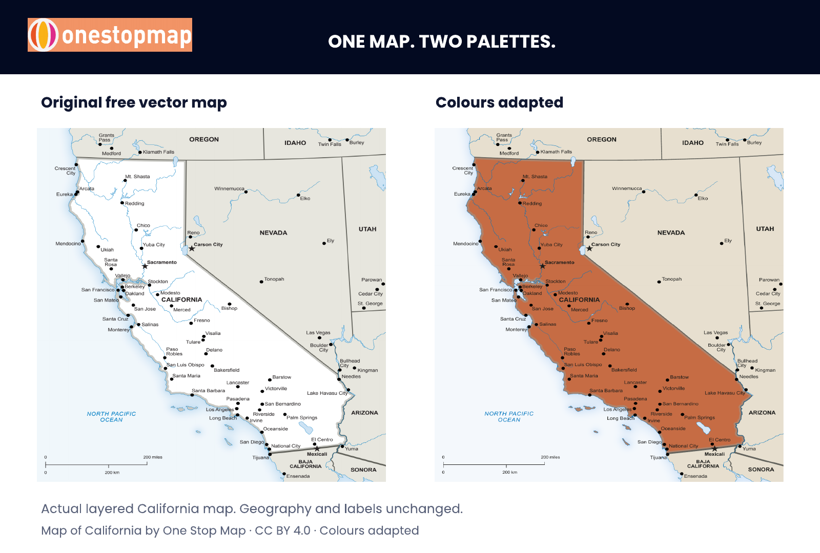
The California political map includes cities, rivers and the surrounding states. It gives you a geographic framework for a regional report, a teaching resource or a presentation about the state. The separate layers let you work with the detail your layout needs.
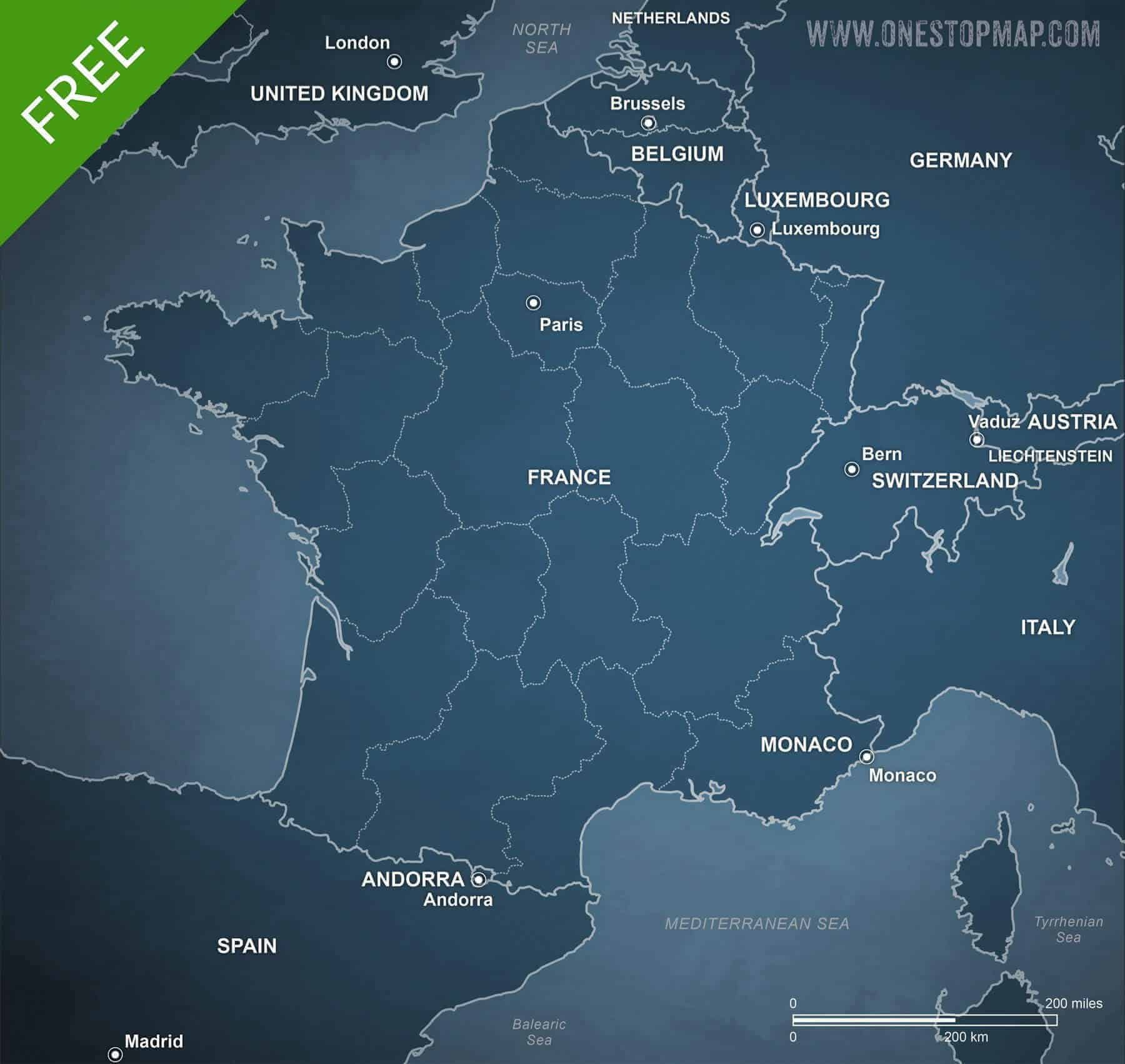
The dark blue palette of our France map in Sci-Fi style gives it a different character. Try it in an editorial spread, a travel-themed design or a presentation that calls for a darker background. Its layers include country and regional areas, boundaries, city points and labels.
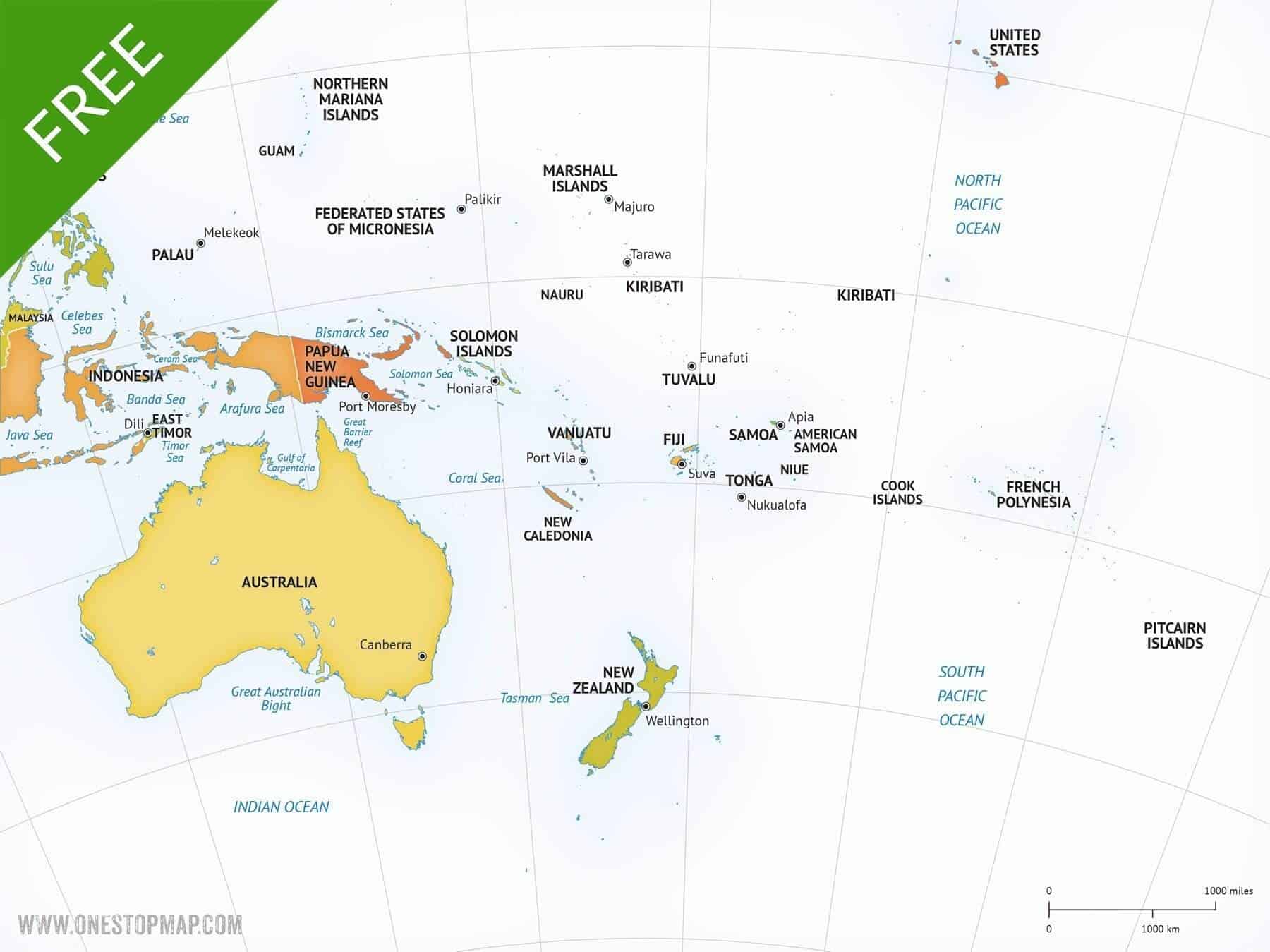
The Australia continent map in Lucid style shows the wider Australia and Oceania region. It can provide context for a geography lesson, a regional overview or a report covering several countries. Country areas, boundaries, cities and labels are organised in separate layers.
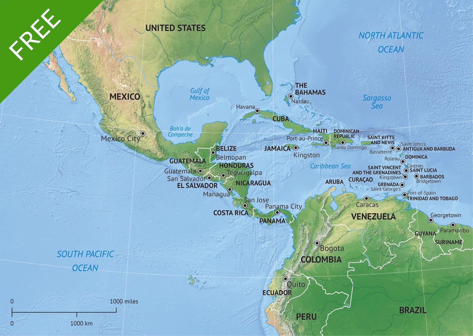
Our Middle America map in Summit style combines political information with shaded relief. That makes it an interesting starting point when terrain helps tell the story. The relief is an image layer; boundaries, places and other map elements have their own layers.
A layered vector file gives you control over the artwork. You can adjust colours to suit a report, change labels in compatible software, or hide layers that your reader does not need. Vector linework and text stay sharp when resized, which is useful when one project needs both a small graphic and a larger print version.
For the example below, we opened the free layered California map in Illustrator and changed its land fills, using warm sand for neighbouring states and terracotta for California. Water and boundaries remain separate. The geography and labels are the same. A small change to the palette gives the map a different emphasis.
For a lesson, you might prepare a simpler view and add your own questions beside it. For a company presentation, you could match the map’s colours to the rest of the slides. For a brochure or report, you can size the artwork to the space available and export a version for the finished layout.
If you want to take that further, our guide to minimalist editable vector maps explores ways to simplify a map for an infographic.
The product page lists the map’s layers and dimensions. Check those details when choosing a map for your particular layout.
This direct route does not require an account or checkout. Inside the ZIP, choose the file that suits your software and your project.
The free maps use the Creative Commons Attribution 4.0 licence. It allows sharing and adaptation, including for commercial projects, provided you follow its terms. Give appropriate credit to One Stop Map, link to the licence and indicate if you have changed the map.
For example, a credit for the adapted California map could read:
“Map of California by One Stop Map, CC BY 4.0. Colours adapted.”
Place the credit where it makes sense for the finished project, such as a source line in a report, a slide’s credits or a website caption. See our free map licence policy for the attribution guidance. If your project needs a different licence, check the paid editions available on the map’s product page.
Start with the place you need, then look at the style, layers and file formats. Whether you are putting together a classroom handout or refining a finished page layout, there is plenty to explore in the free collection.
Browse all 279 free vector maps and choose one for your next project.