Our premium maps come with an unlimited license, even for commercial use. Simple and straightforward.
| Dimension JPEG | 20 in (60 cm) wide – 300 dpi |
|---|---|
| Dimension Vector | 17 x 9 in (43 x 22 cm) – scalable to any size you want |
| Layers | Coastline, Country area, Country boundary line, Grid, Lake, Legend, Map border, Name country, Name physical, Sea area |
| License | Royalty-Free |
| Map Style | Lucid |
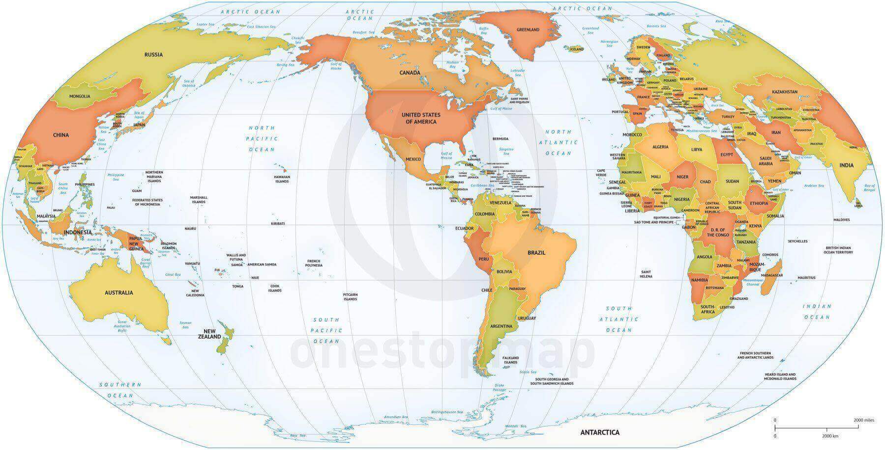
| Map Projection | Robinson |
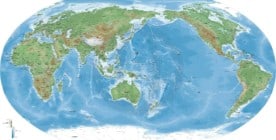
Naturalist map of the World high detail Robinson Asia and Australia centered
from $69.95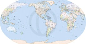
Formal map of the World political high detail Robinson America centered
from $49.95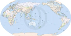
Formal map of the World political high detail Robinson Australia and Asia centered
from $49.95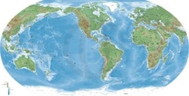
Naturalist map of the World high detail Robinson America centered
from $69.95
Anonymous –
I am looking for a file that would allow me to color all of the land masses one color, erase the names, and erase the oceans, but leave the lines. This will be printed on a t-shirt so I would like the outline of the map. Would this be possible with the vector version of Map of World political Robinson America centered? Thanks!
Koen Adams –
Hi, the things you want to do are easily achieved with our vector maps: You can turn on/off layers, change the color/stroke of objects, move things around and much more.
Preferably you use Adobe Illustrator to edit these files as they are native Illustrator files and to avoid a possible mess that other software may or may not make of the file.