To provide the best experience, we use technologies such as storing cookies. Approving these technologies ensures that we can give you that best experience. Ignoring cookies may result in some features not working as intended.
The technical storage or access is strictly necessary for the legitimate purpose of enabling the use of a specific service explicitly requested by the subscriber or user, or for the sole purpose of carrying out the transmission of a communication over an electronic communications network.
The technical storage or access is necessary for the legitimate purpose of storing preferences that are not requested by the subscriber or user.
The technical storage or access that is used exclusively for statistical purposes.
The technical storage or access that is used exclusively for anonymous statistical purposes. Without a subpoena, voluntary compliance on the part of your Internet Service Provider, or additional records from a third party, information stored or retrieved for this purpose alone cannot usually be used to identify you.
The technical storage or access is required to create user profiles to send advertising, or to track the user on a website or across several websites for similar marketing purposes.

Scott Claypool (verified owner) –
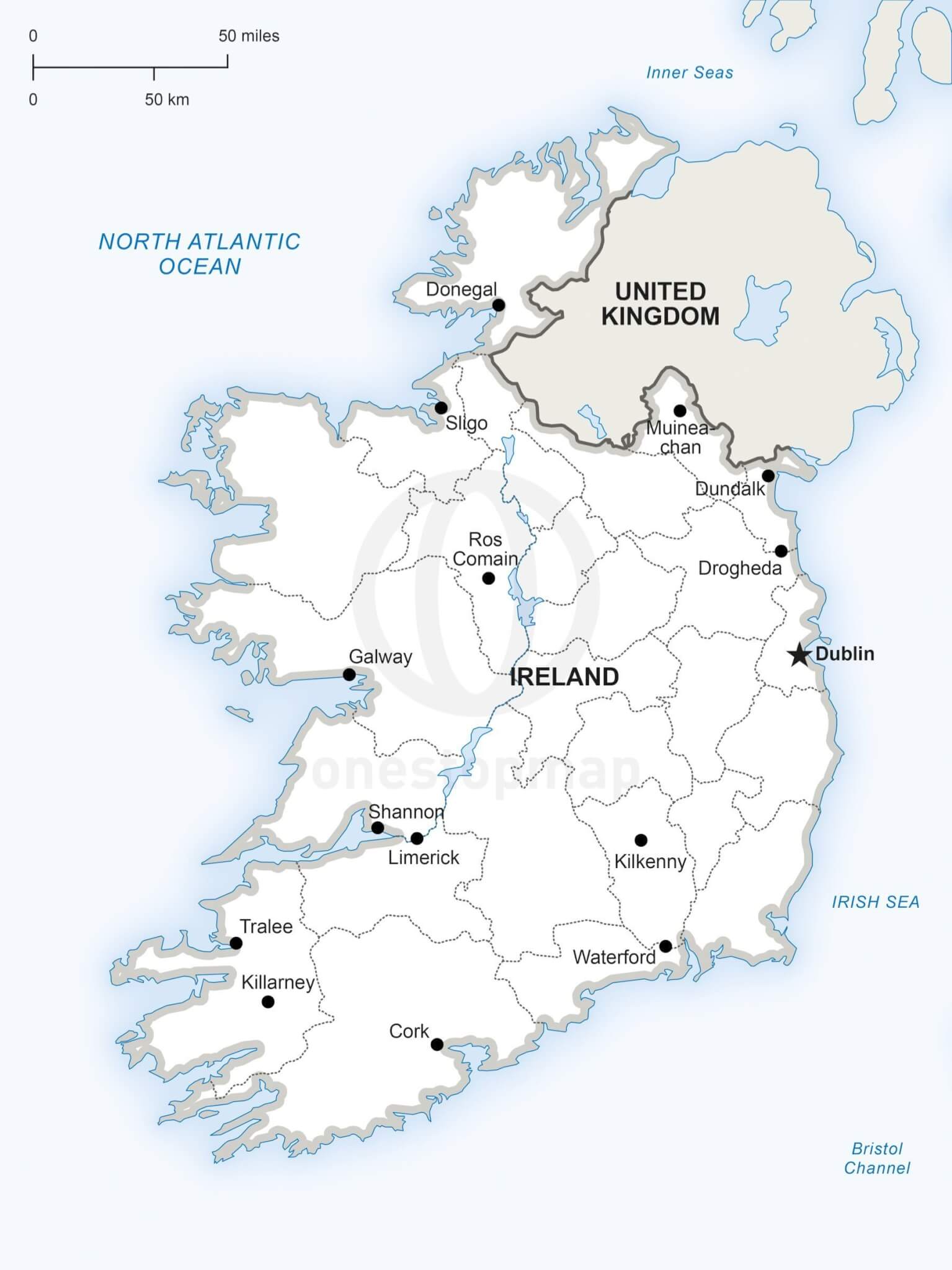
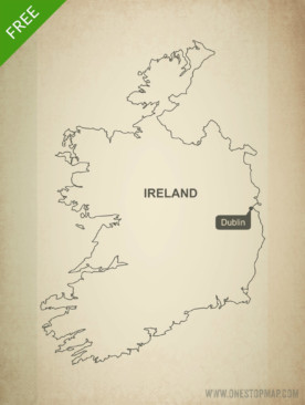
I recently purchased a map of Ireland to include in a memory book I am creating. This is my second map from One Stop Maps after buying one for Alaska last year. These are nice, clean maps for my books and I like that I can edit them slightly to include just the points of interest that are part of my trip. I should point out that you need to be able to edit a PDF with Illustrator or a similar program. Luckily I have a coworker that can do that.