To provide the best experience, we use technologies such as storing cookies. Approving these technologies ensures that we can give you that best experience. Ignoring cookies may result in some features not working as intended.
The technical storage or access is strictly necessary for the legitimate purpose of enabling the use of a specific service explicitly requested by the subscriber or user, or for the sole purpose of carrying out the transmission of a communication over an electronic communications network.
The technical storage or access is necessary for the legitimate purpose of storing preferences that are not requested by the subscriber or user.
The technical storage or access that is used exclusively for statistical purposes.
The technical storage or access that is used exclusively for anonymous statistical purposes. Without a subpoena, voluntary compliance on the part of your Internet Service Provider, or additional records from a third party, information stored or retrieved for this purpose alone cannot usually be used to identify you.
The technical storage or access is required to create user profiles to send advertising, or to track the user on a website or across several websites for similar marketing purposes.

Anonymous –
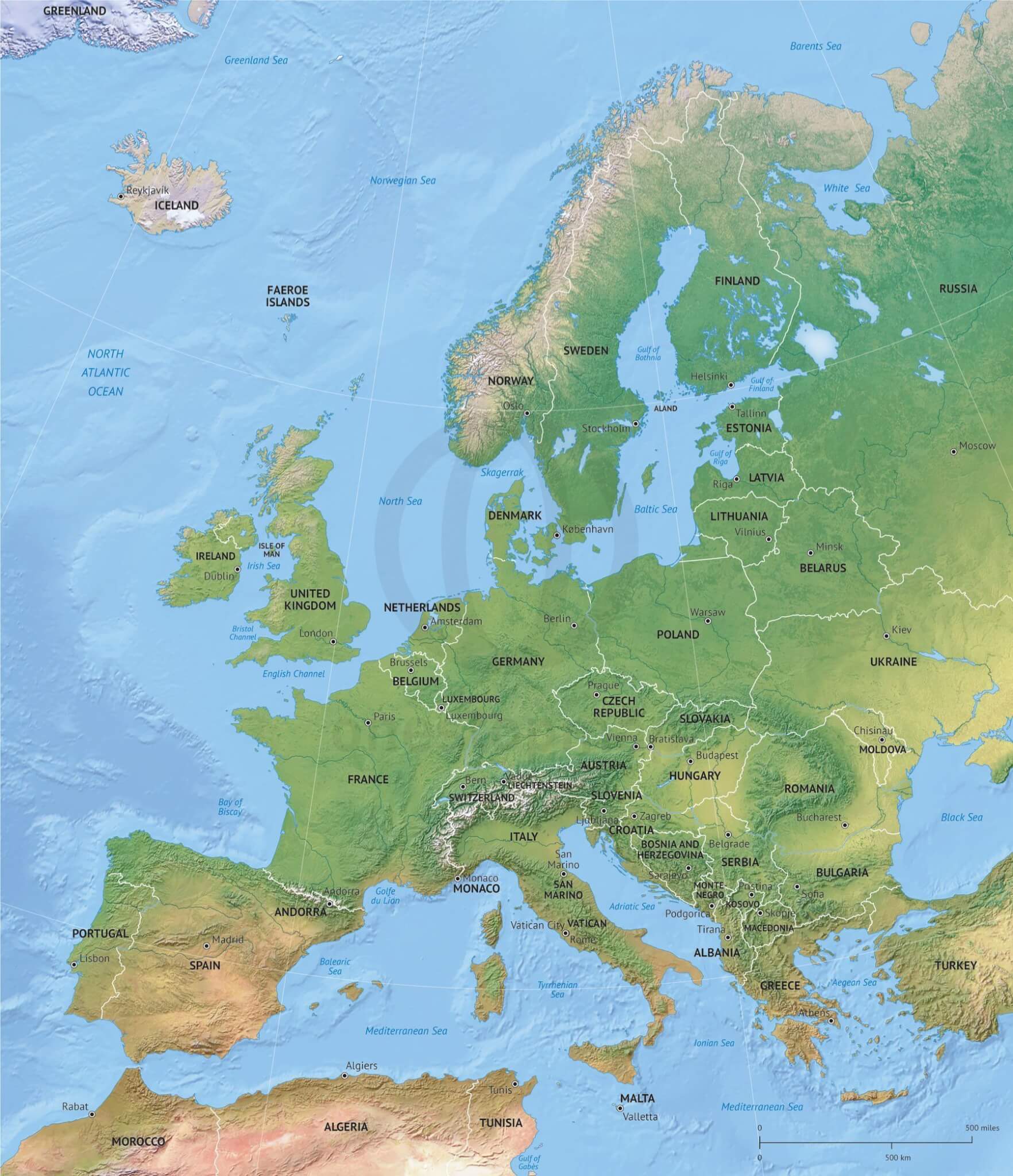
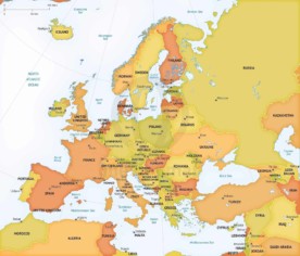
Hello! How detailed is the Map in zoomed areas? Do you have en example? Best regards.
Koen Adams –
Hi, you can click on the image of the map itself. Notice it opens up in a popup box. On the top left you have a button to enlarge that popup.
If that turns out to be not enough for you to evaluate the map please contact us through our contact form and provide your email address. I will send you more details on the areas you want.
Anonymous –
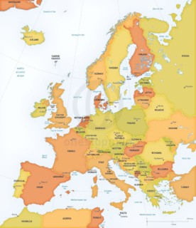
What is the resolution of the relief image? I assume it is bitmap.
Koen Adams –
Hi, the background is indeed a bitmap. Whenever there’s a bitmap used on one of our maps, it is always 6000px wide. This converts into 20 inch wide @300dpi.