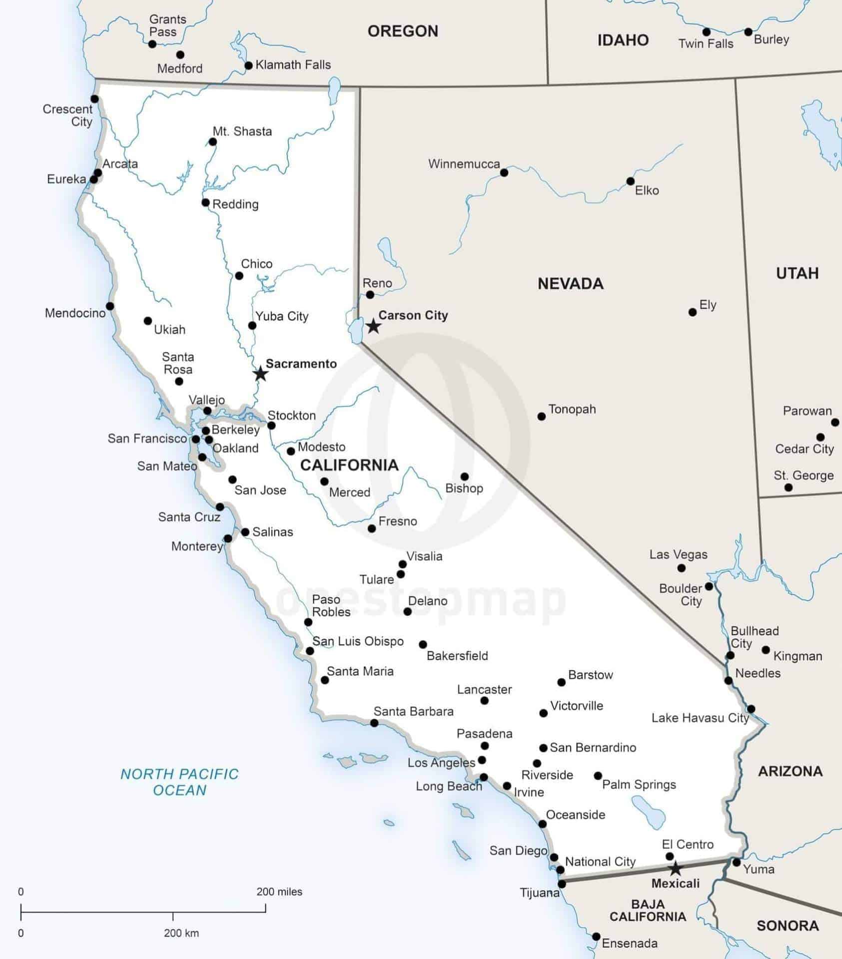
Click or tap the preview to enlarge it. Use the zoom button to inspect map details.
Political map of California with state boundaries, the state capital, major cities and rivers.
The free edition includes vector files and requires credit to One Stop Map (CC BY 4.0). Choose a premium edition for use without attribution.
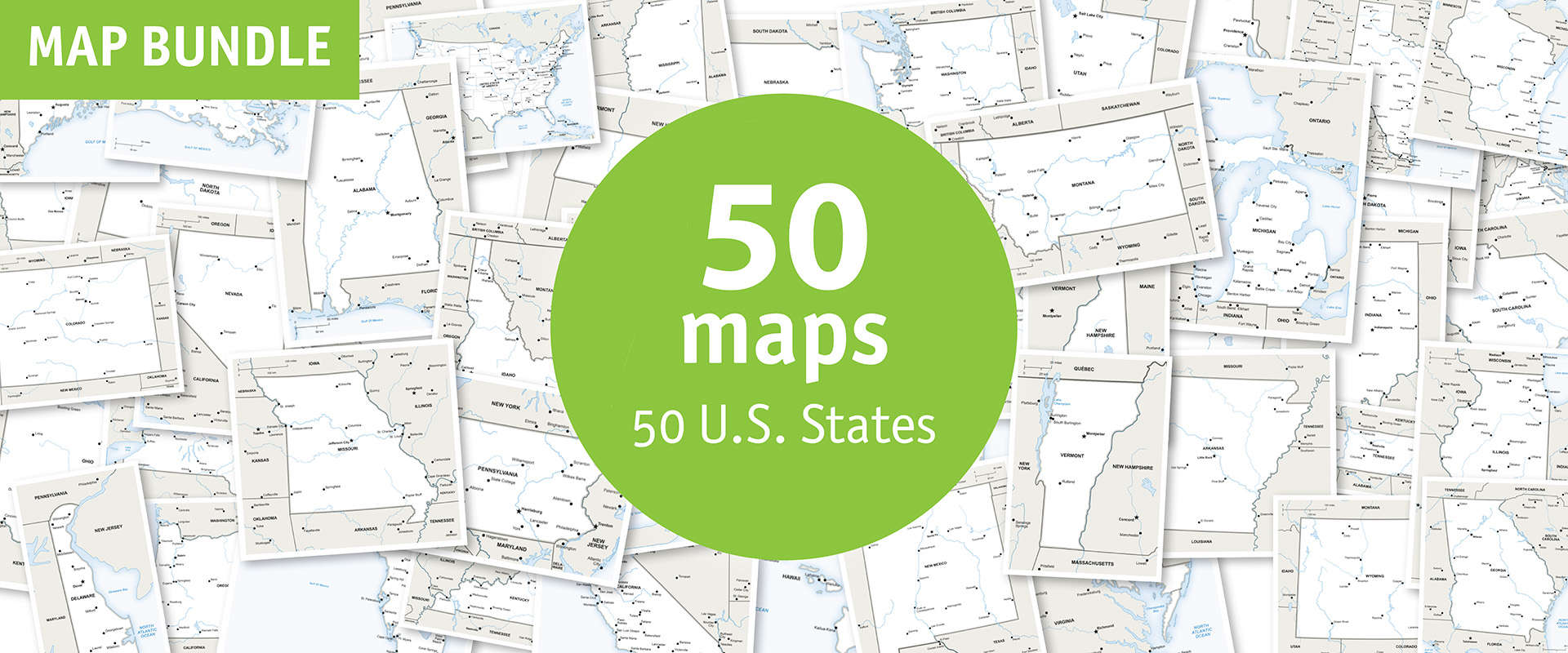
Need more maps? This map is also included in the 50 U.S. State Maps Bundle.
Digital download. No printed map is shipped. Choose your edition below.
License depends on your edition. Premium editions include our royalty-free license for personal and commercial projects. Attribution Required editions use CC BY and require credit to One Stop Map. Resale and file sharing have specific conditions.
| Dimension JPEG | 20 in (50.8 cm) wide – 300 dpi |
|---|---|
| Dimension Vector | 7 x 6 in (19 x 14 cm) – scalable to any size you want |
| Layers | City point, Coastline, Country area, Country boundary line, Lake, Legend, Main state boundary line, Name city, Name physical, Name state, River, Sea area, State area, State boundary line |
| License | Royalty-Free |
| Map Style | Defined |



Reviews
There are no reviews yet.