🇨🇦 Vector Map of Canada political | One Stop Map

Map of Canada political

Our premium maps come with an unlimited license, even for commercial use. Simple and straightforward.

Additional information

Dimension JPEG

20 in (60 cm) wide – 300 dpi

Dimension Vector

9 x 8 in (22 x 20 cm) – scalable to any size you want
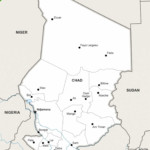
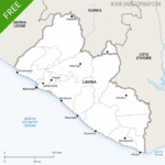
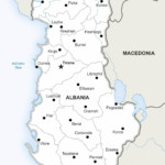
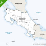
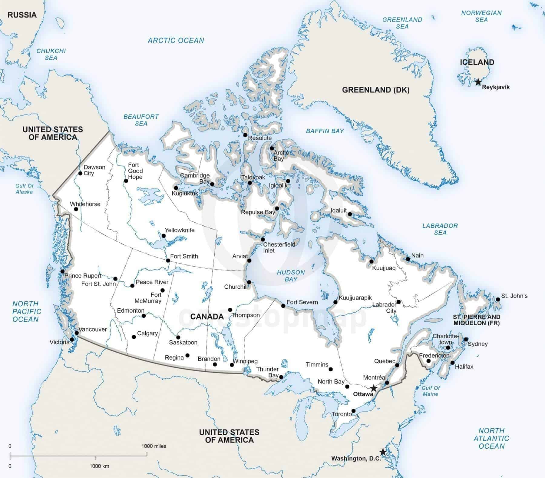
Layers

City point, Coastline, Country area, Country boundary line, Frame, Lake, Legend, Main country boundary line, Name city, Name country, Name physical, River, Sea area, State-province area, State-province boundary line, Unit boundary line

License

Royalty-Free

Map Style

Defined

Map Projection
More maps of Canada
Overview

Customer Reviews

Based on 1 review
100%
(1)
0%
(0)
0%
(0)
0%
(0)
0%
(0)
M
MaryAnn Hardy
Excellent backline map

I needed a simple, clear map of Canada that showed only rivers and lakes, one that would allow me to label a Hudson’s Bay Co. official’s travel routes during a specific time period, early 1800’s. After trying a dozen other maps from other companies, I finally found a map that might work...and it DID!! And it contained enough PPI to be enlarged without losing any clarity and sharpness. I’m so glad I discovered their maps! And the cost was surprisingly INEXPENSIVE. We've certainly bookmarked THIS company's website.

© 2024 One Stop Map - Alle rechten voorbehouden
Built by Webmatic